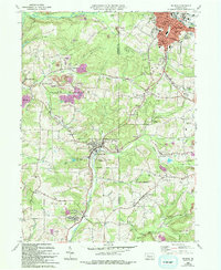
1966 Map of Du Bois
USGS Topo · Published 1994About this map
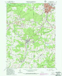
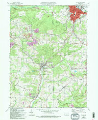
The heavy industrial footprint of coal mining defines this portion of Jefferson and Clearfield Counties, where numerous Strip Mine and Reclaimed Strip Mine sites dot the landscape around Du Bois. The urban center of Du Bois shows a dense street grid including the Du Bois High School, Hospital, and City Park. To the south, the borough of Sykesville sits along Stump Creek, serving as a focal point for smaller surrounding communities like Helvetia, Soldier, and Rathmel.
Find a feature on this map
65 named features on this map. Tap any name to fly to it.
Don’t see what you’re looking for? This feature index may not catch every label — zoom into the map to look around manually.
Map Details
Editions of this 1966 Du Bois Map
6 editions found
Other maps of this area

1903 · Curwensville
USGS Topo · 1:62,500

1906 · Punxsutawney
USGS Topo · 1:62,500

1922 · Du Bois
USGS Topo · 1:62,500

1924 · Du Bois
USGS Topo · 1:62,500

1929 · Penfield
USGS Topo · 1:62,500

1932 · Penfield
USGS Topo · 1:62,500

1939 · Curwensville
USGS Topo · 1:62,500

1939 · Punxsutawney
USGS Topo · 1:62,500

1942 · Curwensville
USGS Topo · 1:62,500

1942 · Punxsutawney
USGS Topo · 1:62,500