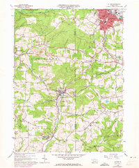
1966 Map of Du Bois
USGS Topo · Published 1973About this map
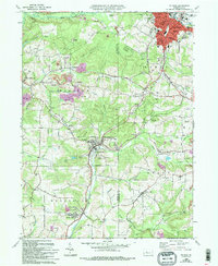
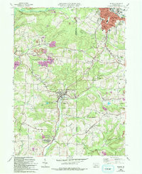
The industrial and agricultural landscape of Jefferson and Clearfield Counties is defined here by the winding Sandy Lick Creek and the heavy presence of extractive industry. Numerous strip mines dot the hillsides between Sykesville and Sandy, illustrating the intensive coal mining that shaped the local economy through the mid-20th century. The transportation network is anchored by the Baltimore and Ohio railroad, which follows the creek valleys and serves established mining and residential centers. Small communities such as Helvetia, Rathmel, and Soldier provide a record of local genealogy, clustered around their respective churches and burial grounds like Soldier Hill Cem and Shaffer Memorial Cem. In the larger hub of Du Bois, more dense urban development is visible, featuring a central City Park, a Hospital, and several schools including the Jr High Sch. This map also preserves the paths of several pipelines and an Old Railroad Grade, showing the evolution of regional infrastructure.
Find a feature on this map
60 named features on this map. Tap any name to fly to it.
Don’t see what you’re looking for? This feature index may not catch every label — zoom into the map to look around manually.
Map Details
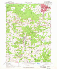
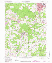
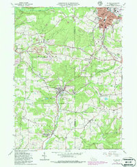
Editions of this 1966 Du Bois Map
6 editions found
Other maps of this area

1903 · Curwensville
USGS Topo · 1:62,500

1906 · Punxsutawney
USGS Topo · 1:62,500

1922 · Du Bois
USGS Topo · 1:62,500

1924 · Du Bois
USGS Topo · 1:62,500

1929 · Penfield
USGS Topo · 1:62,500

1932 · Penfield
USGS Topo · 1:62,500

1939 · Curwensville
USGS Topo · 1:62,500

1939 · Punxsutawney
USGS Topo · 1:62,500

1942 · Curwensville
USGS Topo · 1:62,500

1942 · Punxsutawney
USGS Topo · 1:62,500