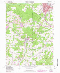
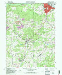
1966 Map of Du Bois
USGS Topo · Published 1982About this map
The industrial and community development of Jefferson and Clearfield Counties centers on the hub of Du Bois and the sprawling Strip Mines that dominate the landscape. This 1966 survey, later updated in 1981, reveals a region defined by its extraction economy and the transportation networks supporting it, including the Baltimore and Ohio and Conrail rail lines. Settlements like Sykesville, Rathmel, and Helvetia are shown with high detail, including their religious and civic foundations such as St Michaels Church and St Catherines Cemetery. The topography is a maze of valleys carved by S and Y Lick Creek, Stump Creek, and East Branch Mahoning Creek. Numerous Gas Wells dot the hillsides, illustrating the continued resource extraction that shaped local geography well into the late twentieth century.
Find a feature on this map
67 named features on this map. Tap any name to fly to it.
Don’t see what you’re looking for? This feature index may not catch every label — zoom into the map to look around manually.
Map Details
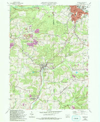
Editions of this 1966 Du Bois Map
6 editions found
Other maps of this area

1903 · Curwensville
USGS Topo · 1:62,500

1906 · Punxsutawney
USGS Topo · 1:62,500

1922 · Du Bois
USGS Topo · 1:62,500

1924 · Du Bois
USGS Topo · 1:62,500

1929 · Penfield
USGS Topo · 1:62,500

1932 · Penfield
USGS Topo · 1:62,500

1939 · Curwensville
USGS Topo · 1:62,500

1939 · Punxsutawney
USGS Topo · 1:62,500

1942 · Curwensville
USGS Topo · 1:62,500

1942 · Punxsutawney
USGS Topo · 1:62,500