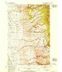
1950 Map of Duck Creek Pass
USGS Topo · Published 1953About this map
The Big Belt Mountains dominate this 1950s terrain, where the Missouri River Valley meets the steep eastern slopes. This era shows a landscape in transition as the Bureau of Reclamation planned for the development of the Missouri River Basin. A blue hachured area marks the proposed basin for the Canyon Ferry Reservoir, indicating land slated for inundation. The map is a vital record for genealogists, as it identifies dozens of family-named homesteads and ranches such as Doggett Ranch, Mary Smith Ranch, and the Plymale Homestead.
Find a feature on this map
76 named features on this map. Tap any name to fly to it.
Don’t see what you’re looking for? This feature index may not catch every label — zoom into the map to look around manually.
Map Details
Editions of this 1950 Duck Creek Pass Map
4 editions found
Other maps of this area

1886 · Fort Logan
USGS Topo · 1:250,000

1948 · White Sulphur Springs
USGS Topo · 1:250,000

1949 · Radersburg
USGS Topo · 1:62,500

1949 · Maudlow
USGS Topo · 1:62,500

1949 · Toston
USGS Topo · 1:62,500

1950 · Canyon Ferry
USGS Topo · 1:62,500

1950 · Townsend
USGS Topo · 1:62,500

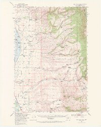
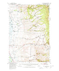
1950 · Duck Creek Pass
USGS Topo · 1:62,500

1958 · White Sulphur Springs
USGS Topo · 1:250,000

1961 · White Sulphur Springs
USGS Topo · 1:250,000