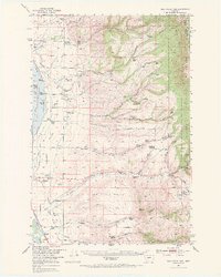
1950 Map of Duck Creek Pass
USGS Topo · Published 1971About this map
The Big Belt Mountains dominate the eastern landscape of this Broadwater County survey, where the Helena National Forest meets the ranchlands of Townsend Valley. The Missouri River basin development is evident near the Missouri River, where the Northern Pacific railroad tracks and the Townsend Landing Field mark important transit corridors. The area is defined by its drainage systems, including Duck Creek, Cottonwood Creek, and Deep Creek, which provide the lifeblood for numerous family holdings.
Find a feature on this map
67 named features on this map. Tap any name to fly to it.
Don’t see what you’re looking for? This feature index may not catch every label — zoom into the map to look around manually.
Map Details
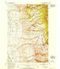
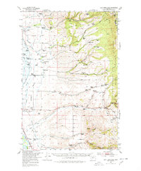
Editions of this 1950 Duck Creek Pass Map
4 editions found
Other maps of this area

1886 · Fort Logan
USGS Topo · 1:250,000

1948 · White Sulphur Springs
USGS Topo · 1:250,000

1949 · Radersburg
USGS Topo · 1:62,500

1949 · Maudlow
USGS Topo · 1:62,500

1949 · Toston
USGS Topo · 1:62,500

1950 · Canyon Ferry
USGS Topo · 1:62,500

1950 · Townsend
USGS Topo · 1:62,500

1950 · Duck Creek Pass
USGS Topo · 1:62,500

1958 · White Sulphur Springs
USGS Topo · 1:250,000

1961 · White Sulphur Springs
USGS Topo · 1:250,000