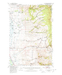
1950 Map of Duck Creek Pass
USGS Topo · Published 1978About this map
The Big Belt Mountains dominate this 1950 survey, where high-altitude ranching and mining define the local economy. At the northern edge, Duck Creek Pass provides a crossing through the range, overlooking several family operations including the Doggett Ranch and the Domer Ranch. Evidence of earlier resource extraction is visible at the Gold Mines near the Middle Fork Duck Creek, while the presence of numerous defunct facilities like the Duck Creek School and Plymale Homestead suggests a shifting population during the mid-century.
Find a feature on this map
69 named features on this map. Tap any name to fly to it.
Don’t see what you’re looking for? This feature index may not catch every label — zoom into the map to look around manually.
Map Details
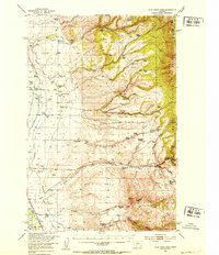
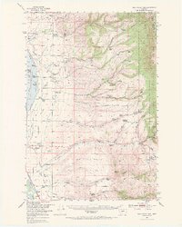
Editions of this 1950 Duck Creek Pass Map
4 editions found
Other maps of this area

1886 · Fort Logan
USGS Topo · 1:250,000

1948 · White Sulphur Springs
USGS Topo · 1:250,000

1949 · Radersburg
USGS Topo · 1:62,500

1949 · Maudlow
USGS Topo · 1:62,500

1949 · Toston
USGS Topo · 1:62,500

1950 · Canyon Ferry
USGS Topo · 1:62,500

1950 · Townsend
USGS Topo · 1:62,500

1950 · Duck Creek Pass
USGS Topo · 1:62,500

1958 · White Sulphur Springs
USGS Topo · 1:250,000

1961 · White Sulphur Springs
USGS Topo · 1:250,000