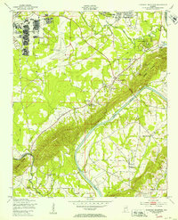
1947 Map of Dunaway Mountain
USGS Topo · Published 1953About this map
Camp Sibert occupies the northwestern corner of this quadrangle, shown shortly after World War II as an abandoned military installation. The landscape transitions from the developed southern edge of Gadsden and Clubview Heights into the ridge-and-valley topography of Dunaway Mountain. The Coosa River meanders through the center of the sheet, marked by the sites of former crossings such as Listers Ferry and McCardney Ferry, indicating a period of change for river-based transportation as local infrastructure modernized.
Find a feature on this map
34 named features on this map. Tap any name to fly to it.
Don’t see what you’re looking for? This feature index may not catch every label — zoom into the map to look around manually.
Map Details
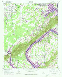
Editions of this 1947 Dunaway Mountain Map
3 editions found

Other maps of this area

1885 · Gadsden
USGS Topo · 1:125,000

1888 · Gadsden
USGS Topo · 1:125,000

1889 · Springville
USGS Topo · 1:125,000

1892 · Springville
USGS Topo · 1:125,000

1892 · Gadsden
USGS Topo · 1:125,000

1893 · Fort Payne
USGS Topo · 1:125,000

1895 · Gadsden
USGS Topo · 1:125,000

1898 · Fort Payne
USGS Topo · 1:125,000

1900 · Fort Payne
USGS Topo · 1:125,000

1900 · Anniston
USGS Topo · 1:125,000