
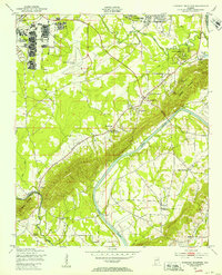
1947 Map of Dunaway Mountain
USGS Topo · Published 1953About this map
Camp Sibert (Abandoned) stands as a prominent feature in the northwest, showcasing the military footprint in the region shortly after the war. This survey, grounded in 1947 field checks, captures the area around Gadsden during a period of transition, where aviation development at the Gadsden Municipal Airport contrasts with the older river-based economy. The Coosa River serves as the central artery of the landscape, though the notation of Listers Ferry (Abandoned) and McCartney Ferry (Abandoned) indicates a shift away from traditional river crossings as road infrastructure evolved.
Find a feature on this map
40 named features on this map. Tap any name to fly to it.
Don’t see what you’re looking for? This feature index may not catch every label — zoom into the map to look around manually.
Map Details
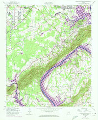
Editions of this 1947 Dunaway Mountain Map
3 editions found
Other maps of this area

1885 · Gadsden
USGS Topo · 1:125,000

1888 · Gadsden
USGS Topo · 1:125,000

1889 · Springville
USGS Topo · 1:125,000

1892 · Springville
USGS Topo · 1:125,000

1892 · Gadsden
USGS Topo · 1:125,000

1893 · Fort Payne
USGS Topo · 1:125,000

1895 · Gadsden
USGS Topo · 1:125,000

1898 · Fort Payne
USGS Topo · 1:125,000

1900 · Fort Payne
USGS Topo · 1:125,000

1900 · Anniston
USGS Topo · 1:125,000