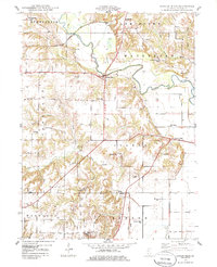
1948 Map of Duncan Mills
USGS Topo · Published 1986About this map
The Spoon River meanders through the central landscape of this late 1940s survey, defining the boundaries and transport patterns of southeastern Fulton County. The settlement of Duncan Mills serves as a local hub near the river's bend, while the Chicago Burlington and Quincy railroad cuts through the northwestern corner near the Bernadotte township line. The map reveals a high density of one-room schoolhouses and family-named landmarks, reflecting a deeply established rural community structured around small townships like Isabel and Pleasant.
Find a feature on this map
35 named features on this map. Tap any name to fly to it.
Don’t see what you’re looking for? This feature index may not catch every label — zoom into the map to look around manually.
Map Details
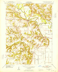
Editions of this 1948 Duncan Mills Map
3 editions found

Other maps of this area

1918 · Vermont
USGS Topo · 1:62,500

1921 · Vermont
USGS Topo · 1:62,500

1925 · Havana
USGS Topo · 1:62,500

1926 · Beardstown
USGS Topo · 1:62,500

1930 · Chandlerville
USGS Topo · 1:62,500

1932 · Chandlerville
USGS Topo · 1:62,500

1944 · Beardstown
USGS Topo · 1:62,500

1947 · Lewistown
USGS Topo · 1:24,000

1947 · St. David
USGS Topo · 1:24,000

1947 · Havana
USGS Topo · 1:24,000