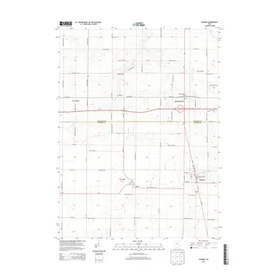
2013 Map of Dunkirk
USGS Topo · Published 2013About this map
The agricultural landscape of the Hancock and Hardin County line is defined by a grid of township roads and several small residential clusters. Dunkirk and Dola serve as the primary southern hubs, while Williamstown and New Stark sit further north. The terrain is notably etched by drainage systems essential to this farming region, including Eagle Cr and the Hydraulic Ditch, which manage the water levels of the flat fields. Local history is anchored by several rural burial grounds such as Eagle Creek Cem and Williamstown Cem, which are scattered among the sections. The transportation network is dominated by the modern paths of Us-30 and Us-68, which intersect near the Hancock County border, while older routes like State Route 698 maintain the area's traditional connectivity between farmsteads.
Find a feature on this map
110 named features on this map. Tap any name to fly to it.
Don’t see what you’re looking for? This feature index may not catch every label — zoom into the map to look around manually.
Map Details
Editions of this 2013 Dunkirk Map
This is the sole edition of this map. No revisions or reprints were ever made.
Other maps of this area

1905 · Arlington
USGS Topo · 1:62,500

1907 · Bluffton
USGS Topo · 1:62,500

1907 · Arlington
USGS Topo · 1:24,000

1913 · Alger
USGS Topo · 1:48,000

1915 · Alger
USGS Topo · 1:62,500

1915 · Kenton
USGS Topo · 1:62,500

1943 · Alger
USGS Topo · 1:62,500

1944 · Kenton
USGS Topo · 1:62,500

1950 · Marion
USGS Topo · 1:250,000

1960 · Rawson
USGS Topo · 1:24,000