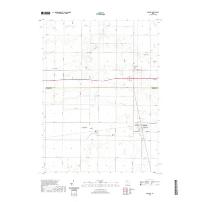
2019 Map of Dunkirk
USGS Topo · Published 2019About this map
Dunkirk and its surrounding townships in Hardin and Hancock counties are defined by a strictly organized grid of rural roads and drainage infrastructure. This agricultural landscape is bisected by the north-south corridor of Route 68, which connects the villages of Williamstown and Dunkirk. The map reveals the intricate water management system necessary for this region's productivity, including the Hydraulic Ditch, Woodruff Ditch, and Flat Br drainage ways that supplement natural streams like Eagle Cr and Ottawa Cr.
Find a feature on this map
41 named features on this map. Tap any name to fly to it.
Don’t see what you’re looking for? This feature index may not catch every label — zoom into the map to look around manually.
Map Details
Editions of this 2019 Dunkirk Map
This is the sole edition of this map. No revisions or reprints were ever made.
Other maps of this area

1905 · Arlington
USGS Topo · 1:62,500

1907 · Bluffton
USGS Topo · 1:62,500

1907 · Arlington
USGS Topo · 1:24,000

1913 · Alger
USGS Topo · 1:48,000

1915 · Alger
USGS Topo · 1:62,500

1915 · Kenton
USGS Topo · 1:62,500

1943 · Alger
USGS Topo · 1:62,500

1944 · Kenton
USGS Topo · 1:62,500

1950 · Marion
USGS Topo · 1:250,000

1960 · Rawson
USGS Topo · 1:24,000