
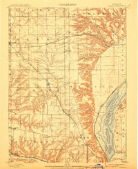
1898 Map of Dunlap
USGS Topo · Published 1898About this map
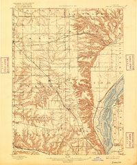
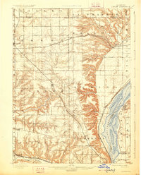
The Illinois River corridor dominates the eastern edge of this late nineteenth-century landscape, framed by the wide bottomlands of Spring Bay and the bluffs near Mossville. Inland, the terrain transitions into the high agricultural prairies of Radnor and Akron townships, where a dense network of early railroads fueled the growth of central Illinois. The Atchison Topeka and Santa Fe Railroad arcs through the northern half of the region, passing through Edelstein, while the Chicago Rock Island and Pacific Railroad connects settlements like Dunlap and Alta to the river valley. Many smaller nineteenth-century points of interest are visible, including the now-quiet locales of Wady Petra, Lawn Ridge, and Orange Prairie. This survey captures the region just before the turn of the century, illustrating how rail infrastructure and river geography dictated the placement of grain elevators, depots, and rural communities.
Find a feature on this map
44 named features on this map. Tap any name to fly to it.
Don’t see what you’re looking for? This feature index may not catch every label — zoom into the map to look around manually.
Map Details
Editions of this 1898 Dunlap Map
4 editions found
Other maps of this area

1893 · Lacon
USGS Topo · 1:62,500

1893 · Metamora
USGS Topo · 1:62,500

1893 · Dunlap
USGS Topo · 1:62,500

1905 · Peoria
USGS Topo · 1:62,500

1927 · Peoria
USGS Topo · 1:62,500

1928 · Mackinaw
USGS Topo · 1:62,500

1930 · Glasford
USGS Topo · 1:62,500

1932 · Mackinaw
USGS Topo · 1:62,500

1932 · Dunlap
USGS Topo · 1:62,500

1933 · Dunlap
USGS Topo · 1:62,500