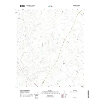
2019 Map of Dunn Creek
USGS Topo · Published 2019About this map
Walker Settlement Cem and Henry Cem mark the rural landscape of this central Texas boundary region, where the line between Robertson and Brazos Counties bisects agricultural lands and creek bottoms. The terrain is defined by a dense network of drainage systems, including Dunn Cr, Campbells Cr, and the appropriately named Dry Hollow. These watercourses feed into several private and community impoundments such as Pryor Lake, Peters Lake, and the P and M Bank Club Lake.
Find a feature on this map
57 named features on this map. Tap any name to fly to it.
Don’t see what you’re looking for? This feature index may not catch every label — zoom into the map to look around manually.
Map Details
Editions of this 2019 Dunn Creek Map
This is the sole edition of this map. No revisions or reprints were ever made.
Other maps of this area
1954 · Austin
USGS Topo · 1:250,000
1956 · Bryan
USGS Topo · 1:62,500
1956 · Caldwell
USGS Topo · 1:62,500
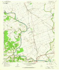
1961 · Mumford
USGS Topo · 1:24,000
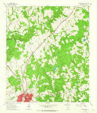
1961 · Hearne North
USGS Topo · 1:24,000
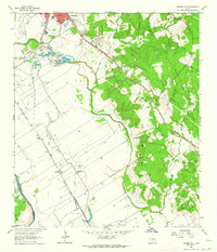
1961 · Hearne South
USGS Topo · 1:24,000
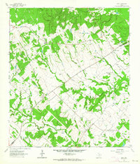
1962 · Edge
USGS Topo · 1:24,000
1962 · Wheelock
USGS Topo · 1:24,000
1962 · Bryan East
USGS Topo · 1:24,000
1962 · Bryan West
USGS Topo · 1:24,000