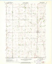
1970 Map of Dunnell
USGS Topo · Published 1972About this map
Dunnell stands as a focal point of settlement along the Chicago and North Western rail line, centered in a landscape defined by highly engineered drainage and agricultural productivity. The transition from natural waterways to an extensive system of artificial channels is evident, with East Fork Des Moines River and Fourmile Creek supplemented by numerous drainage projects like Judicial Ditch No 105 and Judicial Ditch No 17.
Find a feature on this map
20 named features on this map. Tap any name to fly to it.
Don’t see what you’re looking for? This feature index may not catch every label — zoom into the map to look around manually.
Map Details
Editions of this 1970 Dunnell Map
This is the sole edition of this map. No revisions or reprints were ever made.
Other maps of this area

1954 · Fairmont
USGS Topo · 1:250,000
1958 · Fairmont
USGS Topo · 1:250,000
1970 · Jackson NW
USGS Topo · 1:24,000
1970 · Ceylon
USGS Topo · 1:24,000
1970 · Jackson
USGS Topo · 1:24,000
1970 · Sherburn
USGS Topo · 1:24,000
1970 · Alpha
USGS Topo · 1:24,000
1972 · Estherville
USGS Topo · 1:24,000
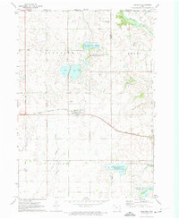
1972 · Superior
USGS Topo · 1:24,000
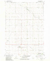
1980 · Gruver
USGS Topo · 1:24,000