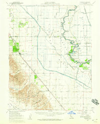
1953 Map of Dunnigan
USGS Topo · Published 1959About this map
The Sacramento River meanders through a landscape of extensive agricultural engineering and riverine commerce in this mid-century survey of the California Central Valley. A complex network of levees and drainage canals, including the Colusa Basin Drainage Canal and Main Canal, defines the terrain between the river and the rising ground of Hungry Hollow and Oat Valley. The riverbank is dotted with historic landing sites such as Millers Landing, Boyers Landing, and Tyndall Landing, reflecting a time when water transport remained vital to local farming operations.
Find a feature on this map
59 named features on this map. Tap any name to fly to it.
Don’t see what you’re looking for? This feature index may not catch every label — zoom into the map to look around manually.
Map Details
Editions of this 1953 Dunnigan Map
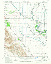
2 editions found
Other maps of this area

1888 · Marysville
USGS Topo · 1:125,000

1891 · Marysville
USGS Topo · 1:125,000

1894 · Marysville
USGS Topo · 1:125,000

1895 · Marysville
USGS Topo · 1:125,000

1905 · Harrington
USGS Topo · 1:24,000

1905 · Esparto
USGS Topo · 1:24,000

1907 · Dunnigan
USGS Topo · 1:62,500

1907 · Colusa
USGS Topo · 1:62,500

1907 · Woodland
USGS Topo · 1:62,500

1907 · Davisville
USGS Topo · 1:62,500