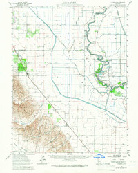
1953 Map of Dunnigan
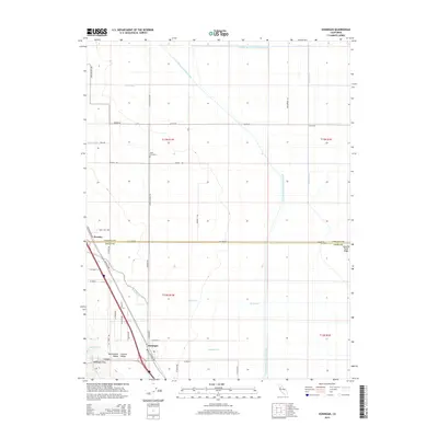
USGS Topo · Published 1966About this map
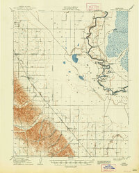
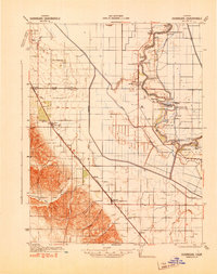
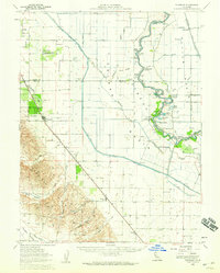
The Sacramento River meanders through the central Valley, defining the boundaries between Colusa, Sutter, and Yolo counties. This 1950s landscape is a complex network of water management, featuring the Colusa Basin Drainage Canal, Main Canal, and numerous river bends like Bullock Bend and China Bend. Small riverside settlements and docks such as Boyers Landing and Tyndall Landing line the banks, reflecting the importance of the river for transport and agriculture. Further inland, the Southern Pacific Railroad connects the towns of Dunnigan, Zamora, and Hershey. Genealogists will find local landmarks like Johns Cemetery, Marys Cemetery, and the Johns District Sch. The terrain transitions from the river flats toward the hills of Hungry Hollow and Oat Valley, where Zamora Creek and Buckeye Creek flow toward the valley floor.
Find a feature on this map
60 named features on this map. Tap any name to fly to it.
Don’t see what you’re looking for? This feature index may not catch every label — zoom into the map to look around manually.
Map Details
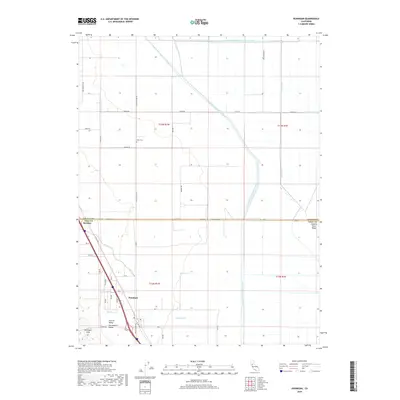
Editions of this 1953 Dunnigan Map
2 editions found
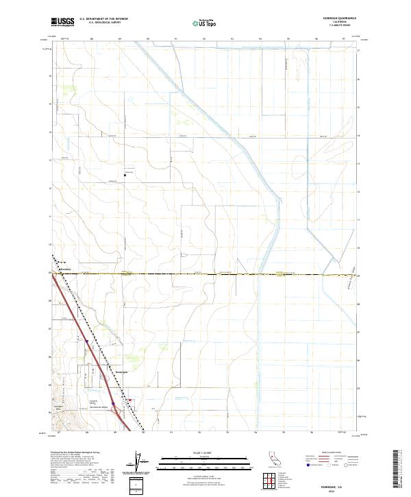
Historical Maps of Dufour Through Time
8 maps found