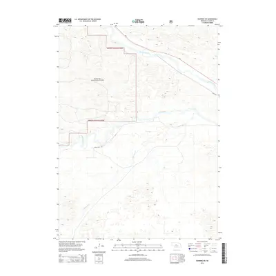
2014 Map of Dunning SW
USGS Topo · Published 2014About this map
Nebraska National Forest land dominates the northwestern portion of this quadrangle, transitioning into the characteristic sandhills topography of Blaine County. The hydrology is defined by the east-flowing Middle Loup River in the north and the Dismal River further south, both of which are fed by smaller tributaries like Wild Horse Cr. These waterways historically dictated the movement of early settlers and ranchers through this sparsely populated region. Human infrastructure is concentrated along the river valleys, where Ne-2 and Jewett Ave parallel the Middle Loup. Local travel through the more isolated southern sections is facilitated by routes such as Dismal River Rd, providing access to the expansive grazing lands and forest preserves that define the Nebraska interior.
Find a feature on this map
7 named features on this map. Tap any name to fly to it.
Don’t see what you’re looking for? This feature index may not catch every label — zoom into the map to look around manually.
Map Details
Editions of this 2014 Dunning SW Map
This is the sole edition of this map. No revisions or reprints were ever made.
Other maps of this area

1948 · Linscott
USGS Topo · 1:62,500

1948 · Halsey
USGS Topo · 1:62,500

1950 · Linscott
USGS Topo · 1:62,500

1950 · Halsey
USGS Topo · 1:62,500

1951 · Dunning
USGS Topo · 1:62,500

1951 · Hoagland
USGS Topo · 1:62,500

1954 · North Platte
USGS Topo · 1:250,000

1956 · North Platte
USGS Topo · 1:250,000

1957 · North Platte
USGS Topo · 1:250,000

1967 · North Platte
USGS Topo · 1:250,000