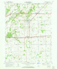
1970 Map of Dunreith
USGS Topo · Published 1972About this map
Spiceland and Dunreith serve as central hubs in this mid-century landscape where agricultural life meets critical transportation corridors. The map documents a transition in Indiana infrastructure, showing the Norfolk and Western and Penn Central rail lines running parallel to the historic National Road. To the north, the winding Big Blue River passes near the Stone Quarry Mills, indicating the local industrial use of the river valley. Genealogists will find several burial sites preserved across the townships, including Mason Cem, Hickside Cem, and Reddick Cem. The inclusion of a Drive-in Theater near the highway junction captures a specific era of American roadside culture, while the scattered Gravel Pits and a southern Gas Well point to the area's natural resource extraction.
Find a feature on this map
31 named features on this map. Tap any name to fly to it.
Don’t see what you’re looking for? This feature index may not catch every label — zoom into the map to look around manually.
Map Details
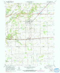
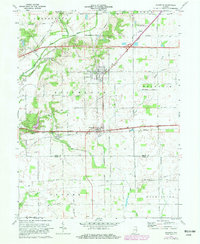
Editions of this 1970 Dunreith Map
3 editions found
Other maps of this area

1948 · Lewisville
USGS Topo · 1:24,000

1949 · New Castle West
USGS Topo · 1:24,000

1950 · New Castle East
USGS Topo · 1:24,000

1950 · Dunreith
USGS Topo · 1:24,000

1950 · Lewisville
USGS Topo · 1:24,000

1953 · Cincinnati
USGS Topo · 1:250,000

1957 · Cincinnati
USGS Topo · 1:250,000

1959 · Mays
USGS Topo · 1:24,000

1959 · Falmouth
USGS Topo · 1:24,000

1960 · New Castle West
USGS Topo · 1:24,000