
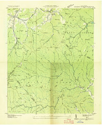
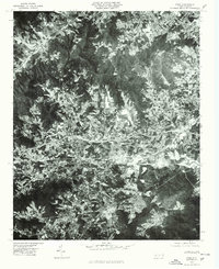
1936 Map of Dunsmore Mountain
USGS Topo · Published 1936This historical map portrays the area of Dunsmore Mountain in 1936, primarily covering Buncombe County as well as portions of Transylvania County, Henderson County, and Haywood County. Featuring a scale of 1:24000, this map provides a highly detailed snapshot of the terrain, roads, buildings, counties, and historical landmarks in the Dunsmore Mountain region at the time. Published in 1936, it is one of 2 known editions of this map due to revisions or reprints.
Map Details
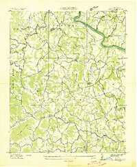
Editions of this 1936 Dunsmore Mountain Map
2 editions found

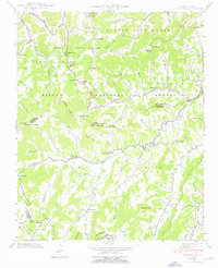
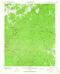
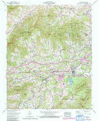
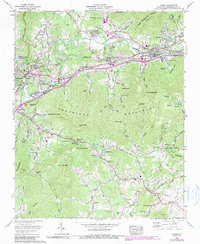
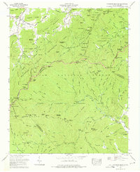
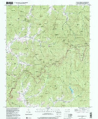
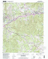
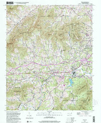
Historical Maps of Buncombe County Through Time
23 maps found

1935 Craggy Pinnacle
Buncombe County, NC
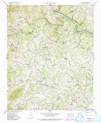
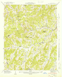
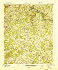
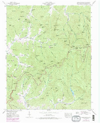
1936 Dunsmore Mountain
Buncombe County, NC

1936 Enka
Buncombe County, NC
1936 Leicester
Buncombe County, NC

1936 Sandymush
Buncombe County, NC

1941 Enka
Buncombe County, NC
1941 Sandymush
Buncombe County, NC
1942 Dunsmore Mountain
Buncombe County, NC

1942 Enka
Buncombe County, NC
1942 Leicester
Buncombe County, NC
1942 Sandymush
Buncombe County, NC

1943 Dunsmore Mountain
Buncombe County, NC
1943 Leicester
Buncombe County, NC
1946 Craggy Pinnacle
Buncombe County, NC
1947 Craggy Pinnacle
Buncombe County, NC
1961 Enka
Buncombe County, NC
1962 Oteen
Buncombe County, NC
1967 Dunsmore Mountain
Buncombe County, NC
1976 Enka
Buncombe County, NC
1997 Craggy Pinnacle
Buncombe County, NC

1997 Dunsmore Mountain
Buncombe County, NC
1997 Oteen
Buncombe County, NC
1998 Enka
Buncombe County, NC