Loading...
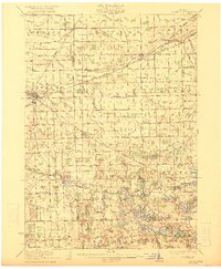
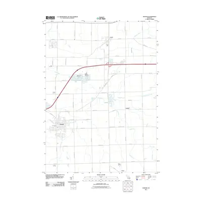
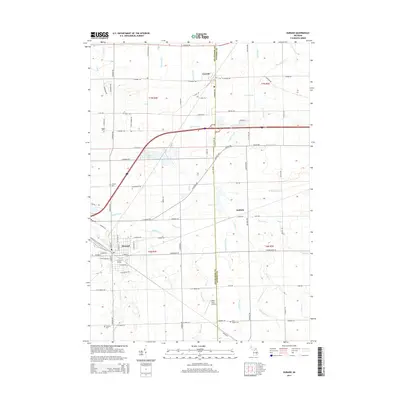
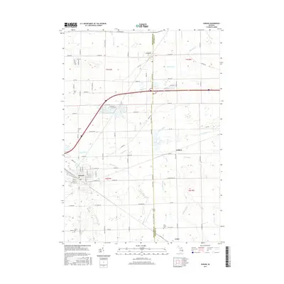
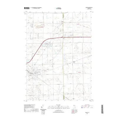
Loading map...1922 Map of Durand
USGS Topo · Published 1922About this map
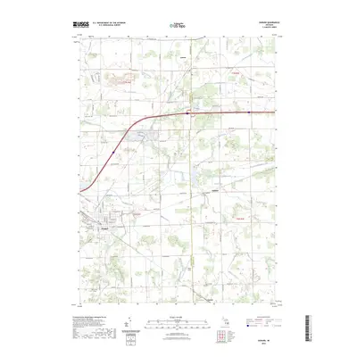
Durand serves as a significant rail junction in this 1922 survey, where the Grand Trunk Railroad network facilitates the transport of agricultural goods from the surrounding Michigan countryside. The landscape is dotted with numerous small educational and social centers, such as Unity Grange and the Venice Center School, reflecting the dense rural community structure of the early twentieth century. Notable local landmarks like the Crapo Farm and Van Riper Hill stand out against the systematic grid of township lines and section roads.
Find a feature on this map
122 named features on this map. Tap any name to fly to it.
Don’t see what you’re looking for? This feature index may not catch every label — zoom into the map to look around manually.
Map Details
Date Portrayed1922
Date Published1922
PublisherU.S. Geological Survey
Map TypeTopographic
Scale1:62,500
Physical Dimensions16.54 x 20.09 inches
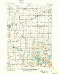
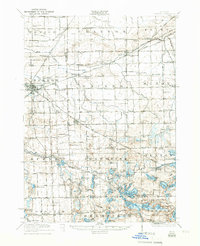
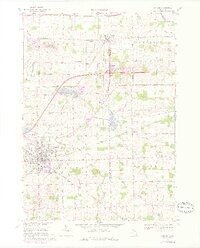
Editions of this 1922 Durand Map
4 editions found

Historical Maps of Flint Through Time
8 maps found

Featured Locations
Source Details
SourceU.S. Geological Survey
CopyrightPublic Domain