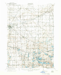
1922 Map of Durand
USGS Topo · Published 1950About this map
The Shiawassee River meanders through a landscape defined by its transition from agricultural fields to water-rich lowlands in this survey of the Shiawassee, Genesee, and Livingston county borders. During the early 1920s, the region was anchored by the rail hub of Durand, where the Grand Trunk railroad lines converged, driving the local economy. The map reveals a dense network of rural infrastructure, from the specialized Crapo Farm to dozens of local educational institutions like Venice Center School and South Brick School. Southeast of Byron, the terrain becomes significantly more lacustrine, dotted with numerous water bodies including Lobdell Lake and Byram Lake. This period captures the height of the traditional township system, with clearly defined districts like Venice and Argentine supporting a community of small settlements, country churches like Dye Church, and social centers such as Unity Grange.
Find a feature on this map
116 named features on this map. Tap any name to fly to it.
Don’t see what you’re looking for? This feature index may not catch every label — zoom into the map to look around manually.
Map Details
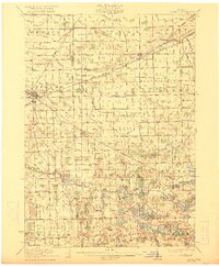
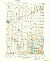
Editions of this 1922 Durand Map
4 editions found

Other maps of this area

1907 · Howell
USGS Topo · 1:62,500

1908 · Fowlerville
USGS Topo · 1:62,500

1909 · Howell
USGS Topo · 1:62,500

1909 · Milford
USGS Topo · 1:62,500

1910 · Fowlerville
USGS Topo · 1:62,500

1917 · Chesaning
USGS Topo · 1:62,500

1919 · Burt
USGS Topo · 1:62,500

1920 · Flint
USGS Topo · 1:62,500

1920 · Holly
USGS Topo · 1:62,500

1921 · Burt
USGS Topo · 1:62,500