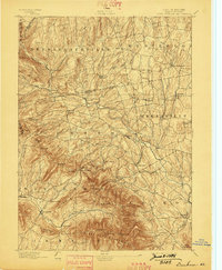
1894 Map of Durham
USGS Topo · Published 1898About this map
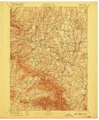
The Black Head Mountains dominate the southern landscape of this 1890s survey, marking a dramatic transition between the high summits of the Catskills and the fertile creek valleys to the north. Settlement patterns follow the winding course of Catskill Creek, which serves as a central artery for several small mill and farming villages including Oak Hill, East Durham, and Freehold. The map captures a moment when the regional economy was tied closely to water power and highland agriculture, evidenced by place names like Cairo Forge and the numerous named hollows tucked into the mountain folds.
Find a feature on this map
64 named features on this map. Tap any name to fly to it.
Don’t see what you’re looking for? This feature index may not catch every label — zoom into the map to look around manually.
Map Details
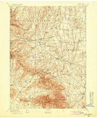
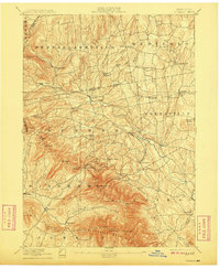
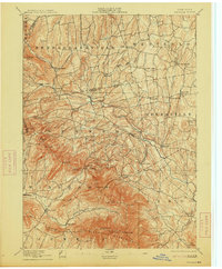
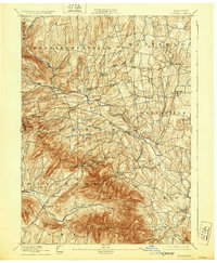
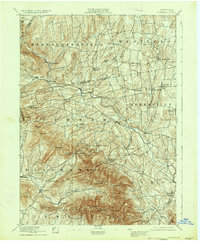
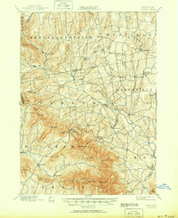
Editions of this 1894 Durham Map
10 editions found

Other maps of this area

1892 · Kaaterskill
USGS Topo · 1:62,500

1893 · Kaaterskill
USGS Topo · 1:62,500

1893 · Coxsackie
USGS Topo · 1:62,500

1893 · Durham
USGS Topo · 1:62,500

1893 · Albany
USGS Topo · 1:62,500

1894 · Coxsackie
USGS Topo · 1:62,500

1894 · Kaaterskill
USGS Topo · 1:62,500

1894 · Durham
USGS Topo · 1:62,500

1895 · Catskill
USGS Topo · 1:62,500

1895 · Albany
USGS Topo · 1:62,500