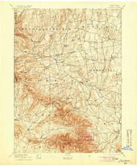
1894 Map of Durham
USGS Topo · Published 1904About this map
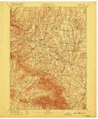
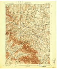
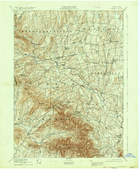
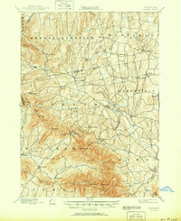
Catskill Creek carves a deep valley through the northern Catskills, serving as the primary drainage for a landscape defined by sharp elevation shifts and established agricultural hamlets. This late nineteenth-century survey reveals a network of upland settlements like Potter Hollow, Oak Hill, and Durham that follow the winding path of the creek and its tributaries. To the south, the terrain rises abruptly toward the Blackhead Mountains, where peaks such as Black Dome and Thomas Cole dominate the horizon.
Find a feature on this map
68 named features on this map. Tap any name to fly to it.
Don’t see what you’re looking for? This feature index may not catch every label — zoom into the map to look around manually.
Map Details
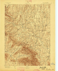
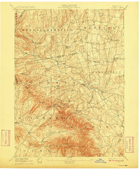
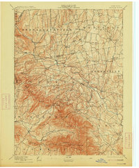
Editions of this 1894 Durham Map
10 editions found

Other maps of this area

1892 · Kaaterskill
USGS Topo · 1:62,500

1893 · Kaaterskill
USGS Topo · 1:62,500

1893 · Coxsackie
USGS Topo · 1:62,500

1893 · Durham
USGS Topo · 1:62,500

1893 · Albany
USGS Topo · 1:62,500

1894 · Coxsackie
USGS Topo · 1:62,500

1894 · Kaaterskill
USGS Topo · 1:62,500

1894 · Durham
USGS Topo · 1:62,500

1895 · Catskill
USGS Topo · 1:62,500

1895 · Albany
USGS Topo · 1:62,500