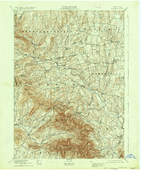
1894 Map of Durham
USGS Topo · Published 1934About this map
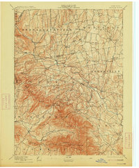
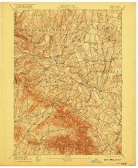
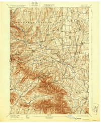
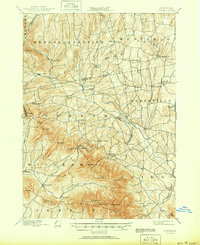
Catskill Creek carves a central path through this late nineteenth-century landscape, anchoring a network of small agricultural and early industrial hamlets in Greene and Albany Counties. The survey by J.H. Jennings and G.L. Johnson illustrates a region defined by high peaks and narrow valleys, where human activity is concentrated at river crossings and crossroads. Significant nineteenth-century hubs like Preston Hollow, Cooksburg, and Potter Hollow appear alongside smaller settlements such as Union Society. To the south, the dramatic elevation of the Blackhead Mountains rises sharply, featuring summits like Windham High Pk and Black Dome. This terrain necessitated a scattered settlement pattern, with family-named corners such as Lambs Corner and Smith Corner serving as vital local landmarks. The presence of Cairo Forge points to the early industrial roots of the valley, while Cairo Roundtop provides a distinct navigational marker for the southern townships.
Find a feature on this map
69 named features on this map. Tap any name to fly to it.
Don’t see what you’re looking for? This feature index may not catch every label — zoom into the map to look around manually.
Map Details
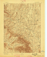
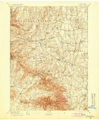
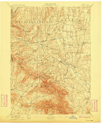
Editions of this 1894 Durham Map
10 editions found

Other maps of this area

1892 · Kaaterskill
USGS Topo · 1:62,500

1893 · Kaaterskill
USGS Topo · 1:62,500

1893 · Coxsackie
USGS Topo · 1:62,500

1893 · Durham
USGS Topo · 1:62,500

1893 · Albany
USGS Topo · 1:62,500

1894 · Coxsackie
USGS Topo · 1:62,500

1894 · Kaaterskill
USGS Topo · 1:62,500

1894 · Durham
USGS Topo · 1:62,500

1895 · Catskill
USGS Topo · 1:62,500

1895 · Albany
USGS Topo · 1:62,500