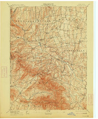
1894 Map of Durham
USGS Topo · Published 1913About this map
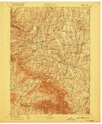
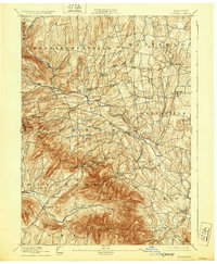
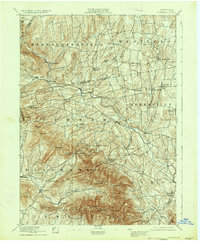
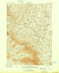
Catskill Creek carves a deep valley through this 1892 survey of the northern Catskills, defining the settlement patterns of Durham and Greenville. The landscape transitions from the agricultural valley floors of Preston Hollow and Potter Hollow to the high elevations of the Blackhead Mountains. High peaks such as Thomas Cole, Black Dome, and Windham High Pk. dominate the southern portion of the sheet, where the terrain becomes significantly steeper.
Find a feature on this map
68 named features on this map. Tap any name to fly to it.
Don’t see what you’re looking for? This feature index may not catch every label — zoom into the map to look around manually.
Map Details
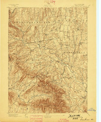
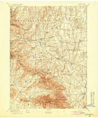
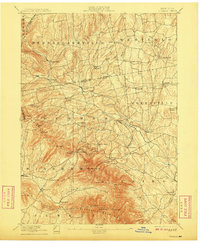
Editions of this 1894 Durham Map
10 editions found

Other maps of this area

1892 · Kaaterskill
USGS Topo · 1:62,500

1893 · Kaaterskill
USGS Topo · 1:62,500

1893 · Coxsackie
USGS Topo · 1:62,500

1893 · Durham
USGS Topo · 1:62,500

1893 · Albany
USGS Topo · 1:62,500

1894 · Coxsackie
USGS Topo · 1:62,500

1894 · Kaaterskill
USGS Topo · 1:62,500

1894 · Durham
USGS Topo · 1:62,500

1895 · Catskill
USGS Topo · 1:62,500

1895 · Albany
USGS Topo · 1:62,500