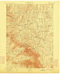
1894 Map of Durham
USGS Topo · Published 1908About this map
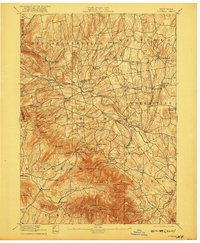
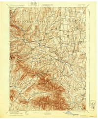
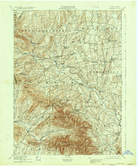
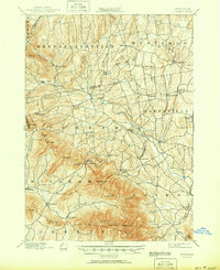
The Blackhead Mountains dominate the southern portion of this region, where high summits like Black Dome and Windham High Pk provide a stark topographical contrast to the northern farming valleys. Settlement at the turn of the century is concentrated along the winding course of Catskill Creek, which serves as a vital corridor for hamlets like Oak Hill and Cooksburg. Further south, small communities such as Union Society and Hensonville are tucked into the valleys of the Batavia Kill and Shingle Kill. The map reveals a dense network of early roads connecting rural crossroads like Lambs Corner and South Westerlo, reflecting the late-19th-century agricultural and industrial landscape of Greene and Albany counties. Industrial traces are evident at Cairo Forge, while the transition from rugged peaks to rolling northern hills illustrates the varied character of the eastern Catskills during this era of post-Civil War growth.
Find a feature on this map
68 named features on this map. Tap any name to fly to it.
Don’t see what you’re looking for? This feature index may not catch every label — zoom into the map to look around manually.
Map Details
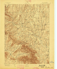
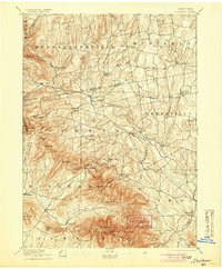
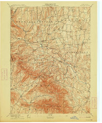
Editions of this 1894 Durham Map
10 editions found

Other maps of this area

1892 · Kaaterskill
USGS Topo · 1:62,500

1893 · Kaaterskill
USGS Topo · 1:62,500

1893 · Coxsackie
USGS Topo · 1:62,500

1893 · Durham
USGS Topo · 1:62,500

1893 · Albany
USGS Topo · 1:62,500

1894 · Coxsackie
USGS Topo · 1:62,500

1894 · Kaaterskill
USGS Topo · 1:62,500

1894 · Durham
USGS Topo · 1:62,500

1895 · Catskill
USGS Topo · 1:62,500

1895 · Albany
USGS Topo · 1:62,500