
1894 Map of Durham
USGS Topo · Published 1943About this map
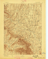
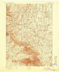
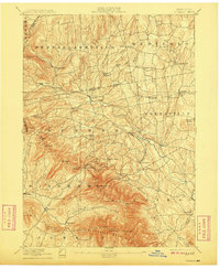
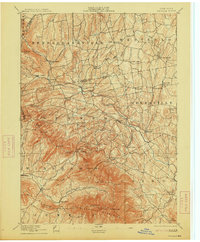
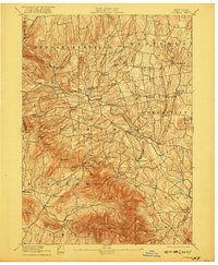
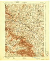
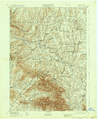
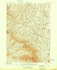
Blackhead Mountains dominate the southern landscape of this 1892 survey, where steep peaks like Black Dome and Thomas Cole rise sharply above the valleys. The map illustrates a rural network of small hamlets and mountain passages typical of the late 19th-century Catskill region. Major drainages including Catskill Creek and the Batavia Kill dictate the placement of early settlements and road networks. In the north, Rensselaerville and Westerlo are dotted with concentrated village centers such as Preston Hollow and Medusa. The detailed topography recorded by J.H. Jennings and G.L. Johnson reveals the industrial and agricultural footing of the era, from the milling potential at Cairo Forge to the high-elevation farmsteads near East Windham and the Elm Ridge. This topography is a primary record of the Greene and Albany County borderlands before modern development altered these mountain corridors.
Find a feature on this map
66 named features on this map. Tap any name to fly to it.
Don’t see what you’re looking for? This feature index may not catch every label — zoom into the map to look around manually.
Map Details
Editions of this 1894 Durham Map
10 editions found
Other maps of this area

1892 · Kaaterskill
USGS Topo · 1:62,500

1893 · Kaaterskill
USGS Topo · 1:62,500

1893 · Coxsackie
USGS Topo · 1:62,500

1893 · Durham
USGS Topo · 1:62,500

1893 · Albany
USGS Topo · 1:62,500

1894 · Coxsackie
USGS Topo · 1:62,500

1894 · Kaaterskill
USGS Topo · 1:62,500

1894 · Durham
USGS Topo · 1:62,500

1895 · Catskill
USGS Topo · 1:62,500

1895 · Albany
USGS Topo · 1:62,500