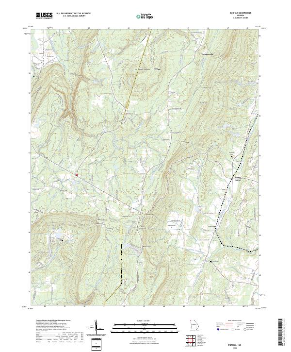
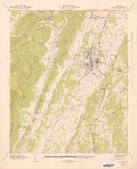
2024 Map of Durham
USGS Topo · Published 2024About this map
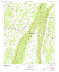
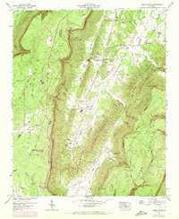
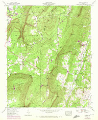
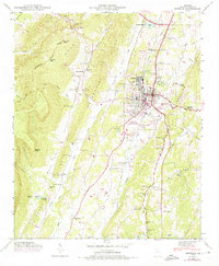
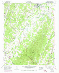
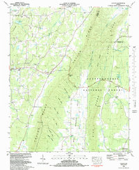
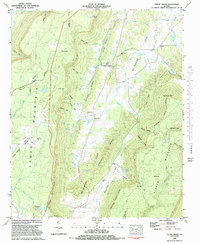
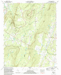
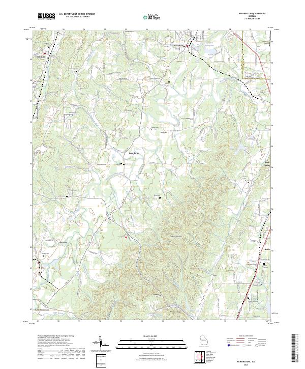
Lookout Mountain dominates the high-elevation landscape of this northwestern Georgia region, where the ridge and valley terrain dictates the settlement patterns. Small communities like Durham and Thompsonville occupy the plateau areas, while Cooper Heights and Cassandra sit in the lower elevations of Chattanooga Valley. The map reveals a legacy of resource extraction and transit, evidenced by the presence of Coal Mine Rd and numerous gaps that pierce the mountain walls, such as Steven Gap and Newsome Gap.
Find a feature on this map
140 named features on this map. Tap any name to fly to it.
Don’t see what you’re looking for? This feature index may not catch every label — zoom into the map to look around manually.
Map Details
Editions of this 2024 Durham Map
This is the sole edition of this map. No revisions or reprints were ever made.
Historical Maps of Ascalon Through Time
24 maps found
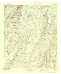
1892 Catoosa
Walker County, GA

1935 Catlett
Walker County, GA
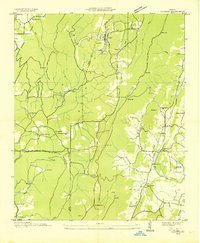
1935 Durham
Walker County, GA
1936 Cedar Grove
Walker County, GA

1936 Estelle
Walker County, GA

1936 Kensington
Walker County, GA
1946 Catlett
Walker County, GA
1946 Cedar Grove
Walker County, GA
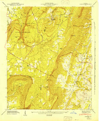
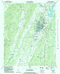
1946 Durham
Walker County, GA
1946 Estelle
Walker County, GA
1946 Kensington
Walker County, GA
1947 Catlett
Walker County, GA
1947 Cedar Grove
Walker County, GA
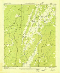
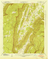
1947 Durham
Walker County, GA
1947 Estelle
Walker County, GA
1982 Catlett
Walker County, GA
1982 Cedar Grove
Walker County, GA
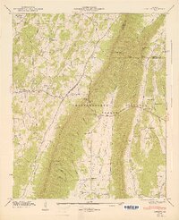
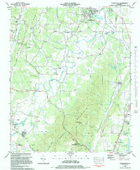
1983 Durham
Walker County, GA
1983 Kensington
Walker County, GA
1983 Lafayette
Walker County, GA
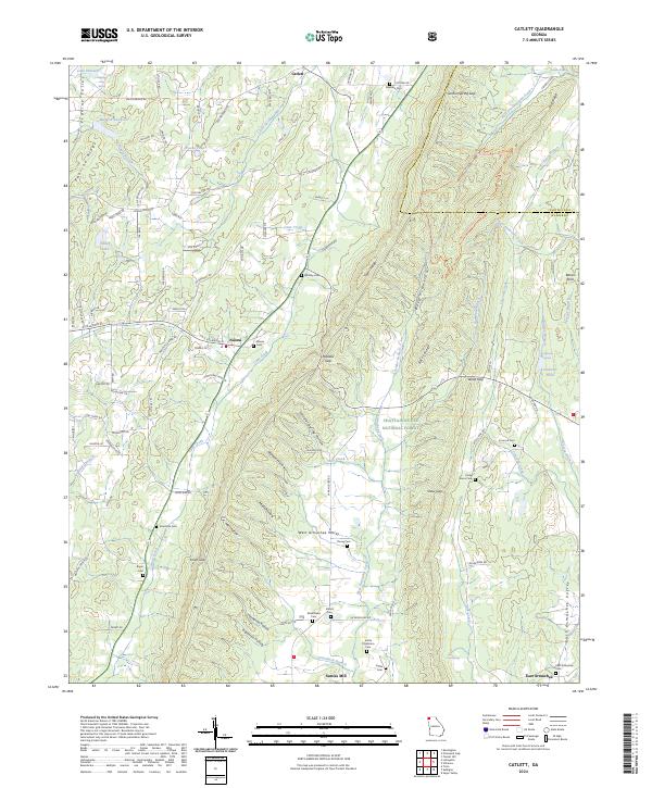
2024 Catlett
Walker County, GA
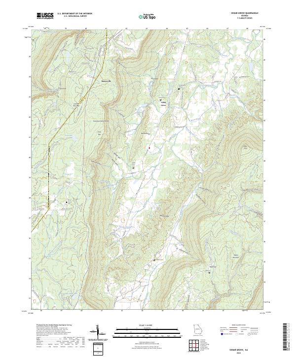
2024 Cedar Grove
Walker County, GA
2024 Durham
Walker County, GA
2024 Kensington
Walker County, GA