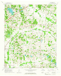
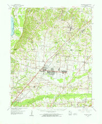
1965 Map of Eads
USGS Topo · Published 1966About this map
The settlement of Eads and the surrounding rural landscapes of eastern Shelby County are captured here in the mid-1960s, a period defined by the transition from traditional farming communities to early suburban development. The Nashville and Louisville Road serves as a primary east-west corridor, linking established crossroads like Fisherville and Lenow. The area's social history is deeply rooted in its numerous country churches and family burial grounds, such as Chambers Chapel Cem and Bonnellson Cem, which dot the terrain alongside educational landmarks like Mt Pisgah High Sch.
Find a feature on this map
54 named features on this map. Tap any name to fly to it.
Don’t see what you’re looking for? This feature index may not catch every label — zoom into the map to look around manually.
Map Details
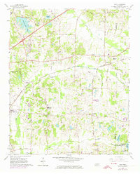
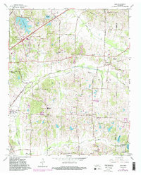
Editions of this 1965 Eads Map
3 editions found
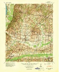
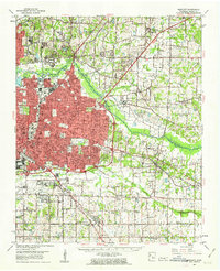
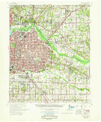
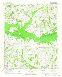
Other maps of this area
1942 · Millington
USGS Topo · 1:62,500

1943 · Collierville
USGS Topo · 1:62,500

1953 · Collierville
USGS Topo · 1:50,000

1954 · Mason
USGS Topo · 1:62,500

1956 · Blytheville
USGS Topo · 1:250,000

1959 · Blytheville
USGS Topo · 1:250,000
1960 · Bartlett
USGS Topo · 1:62,500
1960 · Millington
USGS Topo · 1:62,500
1961 · Bartlett
USGS Topo · 1:62,500
1965 · Rossville
USGS Topo · 1:24,000