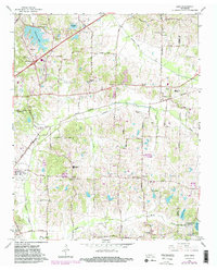
1965 Map of Eads
USGS Topo · Published 1983About this map
The rolling hills and creek bottoms of eastern Shelby County appear here during a period of transition, where suburban expansion near Lakeland meets the older farming communities of Eads and Fisherville. The landscape is defined by the drainage of Cypress Creek and Grays Creek, with the latter winding through Spain Bottom toward the State Fish and Game Refuge. Local heritage is anchored by numerous rural institutions, including Morning Sun Church, Chambers Chapel Cemetery, and the Friendship Temple. Cultural markers like Mt Pisgah High School and the Morris Lookout Tower near Herb Parsons Lake reflect the area's civic development. A legacy of earlier transport is visible in the abandoned rail line that once connected these agrarian settlements, now superseded by the modern infrastructure of Interchange 20.
Find a feature on this map
72 named features on this map. Tap any name to fly to it.
Don’t see what you’re looking for? This feature index may not catch every label — zoom into the map to look around manually.
Map Details
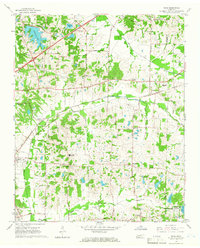
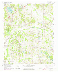
Editions of this 1965 Eads Map
3 editions found
Other maps of this area

1942 · Millington
USGS Topo · 1:62,500

1943 · Collierville
USGS Topo · 1:62,500

1953 · Collierville
USGS Topo · 1:50,000

1954 · Mason
USGS Topo · 1:62,500

1956 · Blytheville
USGS Topo · 1:250,000

1959 · Blytheville
USGS Topo · 1:250,000

1960 · Bartlett
USGS Topo · 1:62,500

1960 · Millington
USGS Topo · 1:62,500

1961 · Bartlett
USGS Topo · 1:62,500

1965 · Rossville
USGS Topo · 1:24,000