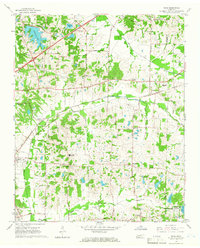
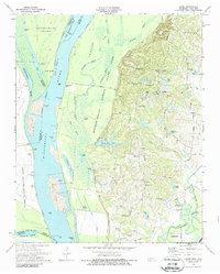
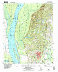
1965 Map of Eads
USGS Topo · Published 1966This historical map portrays the area of Eads in 1965, primarily covering Shelby County as well as portions of Fayette County. Featuring a scale of 1:24000, this map provides a highly detailed snapshot of the terrain, roads, buildings, counties, and historical landmarks in the Eads region at the time. Published in 1966, it is one of 3 known editions of this map due to revisions or reprints.
Find a feature on this map
54 named features on this map. Tap any name to fly to it.
Don’t see what you’re looking for? This feature index may not catch every label — zoom into the map to look around manually.
Map Details
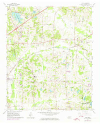
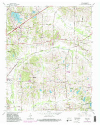
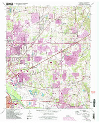
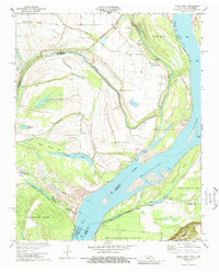
Editions of this 1965 Eads Map
3 editions found
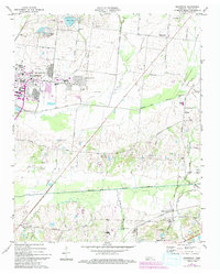
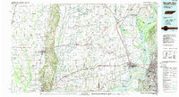
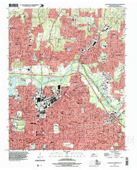
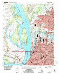
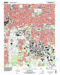
Historical Maps of Eads Through Time
14 maps found
1965 Eads
Shelby County, TN
1965 Ellendale
Shelby County, TN
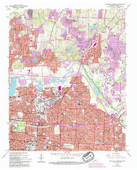
1965 Northeast Memphis
Shelby County, TN
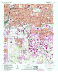
1965 Northwest Memphis
Shelby County, TN
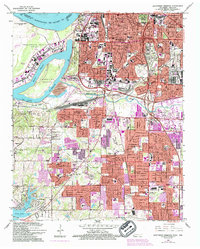
1965 Southeast Memphis
Shelby County, TN
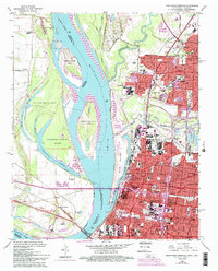
1965 Southwest Memphis
Shelby County, TN
1970 Locke
Shelby County, TN
1970 Pecan Point
Shelby County, TN
1971 Brunswick
Shelby County, TN
1986 Memphis West
Shelby County, TN
1997 Locke
Shelby County, TN
1997 Northeast Memphis
Shelby County, TN
1997 Northwest Memphis
Shelby County, TN
1997 Southeast Memphis
Shelby County, TN