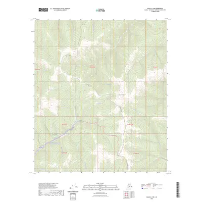
2023 Map of Eagle A-1 NW
USGS Topo · Published 2023About this map
Jack Wade serves as a focal point in this remote corner of the Southeast Fairbanks Census Area, where gold mining history and modern infrastructure meet. The landscape is defined by the winding course of Wade Creek and its many tributaries, such as Gilliland Creek and Uhler Creek. These waterways eventually feed into the protected corridor of the Fortymile Wild and Scenic River, illustrating the watershed's drainage from high points like Steele Creek Dome.
Find a feature on this map
29 named features on this map. Tap any name to fly to it.
Don’t see what you’re looking for? This feature index may not catch every label — zoom into the map to look around manually.
Map Details
Editions of this 2023 Eagle A-1 NW Map
This is the sole edition of this map. No revisions or reprints were ever made.
Other maps of this area

1899 · Fortymile
USGS Topo · 1:250,000

1951 · Eagle
USGS Topo · 1:250,000

1956 · Eagle A-1
USGS Topo · 1:63,360

1956 · Eagle B-2
USGS Topo · 1:63,360

1956 · Eagle A-2
USGS Topo · 1:63,360

1956 · Eagle B-1
USGS Topo · 1:63,360

1957 · Eagle
USGS Topo · 1:250,000
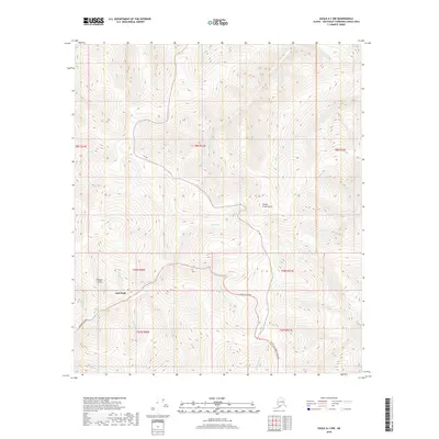
2018 · Eagle A-1 NW
USGS Topo · 1:25,000
2018 · Eagle A-2 SE
USGS Topo · 1:25,000
2018 · Eagle B-1 SE
USGS Topo · 1:25,000