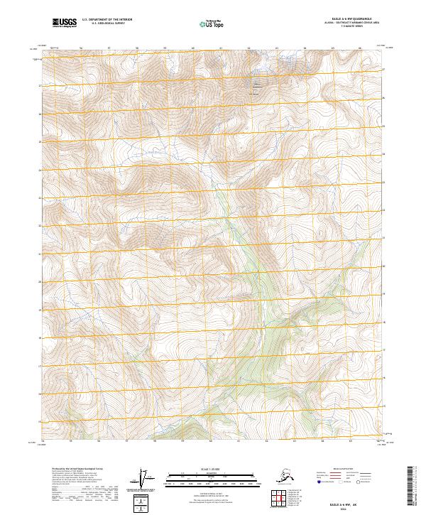
2024 Map of Eagle A-6 NW
USGS Topo · Published 2024About this map
Healy River winds through this interior Alaskan wilderness, cutting through a landscape of high-elevation peaks and narrow valleys. The northern portion of the sheet is dominated by the Mertie Mountains, which culminate at Mt Harper. This area is characterized by significant topographic relief, with elevation contours illustrating the steep rise from the river basin to the surrounding mountain summits. The map serves as a record of the drainage patterns of the Healy River and its various unnamed tributaries within the Southeast Fairbanks Census Area. The lack of human settlements or road infrastructure underscores the isolation of this terrain, where the natural hydrology and landform elevations remain the primary features of interest.
Find a feature on this map
9 named features on this map. Tap any name to fly to it.
Don’t see what you’re looking for? This feature index may not catch every label — zoom into the map to look around manually.
Map Details
Editions of this 2024 Eagle A-6 NW Map
This is the sole edition of this map. No revisions or reprints were ever made.
Other maps of this area

1950 · Big Delta
USGS Topo · 1:250,000

1951 · Big Delta
USGS Topo · 1:250,000

1951 · Eagle
USGS Topo · 1:250,000

1955 · Big Delta A-1
USGS Topo · 1:63,360

1956 · Eagle A-6
USGS Topo · 1:63,360

1956 · Eagle B-6
USGS Topo · 1:63,360

1957 · Eagle
USGS Topo · 1:250,000

1958 · Big Delta B-1
USGS Topo · 1:63,360

1958 · Big Delta
USGS Topo · 1:250,000
2018 · Big Delta A-1 NE
USGS Topo · 1:25,000