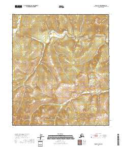
2018 Map of Eagle B-3 NW
USGS Topo · Published 2018About this map
The Middle Fork Fortymile River winds through the northern portion of this Alaskan interior landscape, carving a deep valley through the Mertie Mountains. This 2018 survey by the U.S. Geological Survey captures a wild and unpopulated reach of the Southeast Fairbanks Census Area, where the topography is defined by sharp ridgelines and the dendritic drainage patterns of high-altitude creeks. Notable tributaries including Bullion Cr and Sleem Cr feed into the river system, reflecting a landscape where water movement dictates the shape of the land. The map illustrates the Public Land Survey System grid across several townships, including t5s r27e, marking a territory devoid of modern roads or permanent settlements. This area is historically significant for its place within the Fortymile gold mining district, and the labels here point to the geological features that drew early prospectors to these remote waterways.
Find a feature on this map
10 named features on this map. Tap any name to fly to it.
Don’t see what you’re looking for? This feature index may not catch every label — zoom into the map to look around manually.
Map Details
Editions of this 2018 Eagle B-3 NW Map
This is the sole edition of this map. No revisions or reprints were ever made.
Other maps of this area

1951 · Eagle
USGS Topo · 1:250,000

1956 · Eagle B-3
USGS Topo · 1:63,360

1956 · Eagle B-4
USGS Topo · 1:63,360

1956 · Eagle C-3
USGS Topo · 1:63,360
1956 · Eagle C-4
USGS Topo · 1:63,360

1957 · Eagle
USGS Topo · 1:250,000
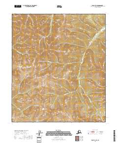
2018 · Eagle B-3 SW
USGS Topo · 1:25,000
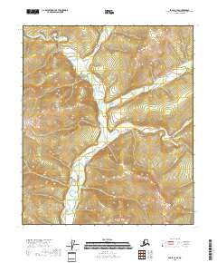
2018 · Eagle C-3 SE
USGS Topo · 1:25,000
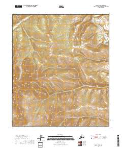
2018 · Eagle B-3 SE
USGS Topo · 1:25,000
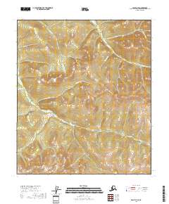
2018 · Eagle B-4 SE
USGS Topo · 1:25,000