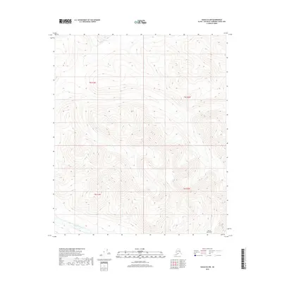
2018 Map of Eagle B-6 NW
USGS Topo · Published 2018About this map
The Goodpaster River winds through the northern portion of this high-latitude terrain, while the Eisenmenger Fork drains the southwest corner. Located in the Southeast Fairbanks Census Area, the landscape is dominated by the high elevations of the Mertie Mountains, where the drainage patterns and contour lines illustrate a region shaped by natural forces rather than human development. The absence of roads or structures highlights the isolation of this interior Alaska wilderness. Surveyed in 2018, this map provides an exacting look at the hydrological relationship between the river system and the surrounding peaks, offering a baseline for environmental study or backcountry exploration in a region defined by its topography.
Find a feature on this map
7 named features on this map. Tap any name to fly to it.
Don’t see what you’re looking for? This feature index may not catch every label — zoom into the map to look around manually.
Map Details
Editions of this 2018 Eagle B-6 NW Map
This is the sole edition of this map. No revisions or reprints were ever made.
Other maps of this area

1950 · Big Delta
USGS Topo · 1:250,000

1951 · Big Delta
USGS Topo · 1:250,000

1951 · Eagle
USGS Topo · 1:250,000

1956 · Eagle C-6
USGS Topo · 1:63,360

1956 · Eagle B-6
USGS Topo · 1:63,360

1957 · Eagle
USGS Topo · 1:250,000

1958 · Big Delta B-1
USGS Topo · 1:63,360

1958 · Big Delta C-1
USGS Topo · 1:63,360

1958 · Big Delta
USGS Topo · 1:250,000
2018 · Big Delta C-1 SE
USGS Topo · 1:25,000