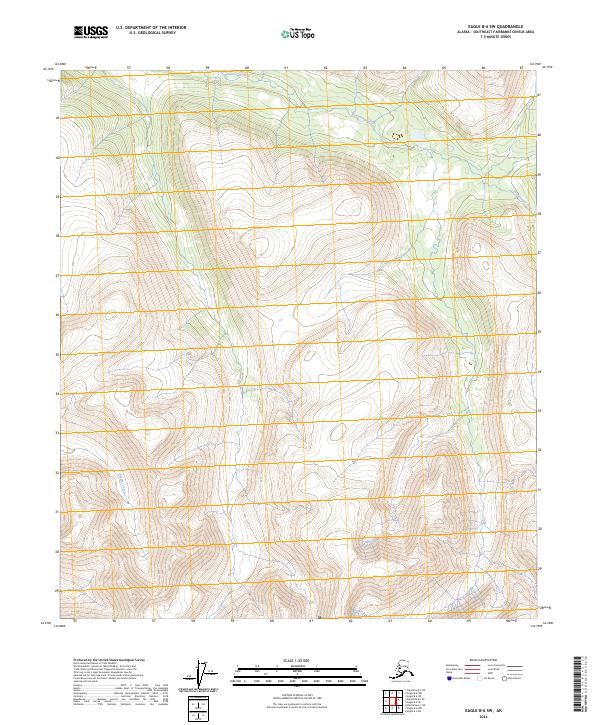
2024 Map of Eagle B-6 SW
USGS Topo · Published 2024About this map
Eisenmenger Fork carves through this high-elevation terrain in the Southeast Fairbanks Census Area, its drainage pattern defining much of the local topography. This modern 2024 survey depicts a landscape dominated by steep relief and natural watercourses, with Boulder Creek also serving as a primary hydrological feature. The map provides a precise layout of the Public Land Survey System, illustrating the grid lines for townships such as t7s r19e and t7s r20e. This remote Alaskan interior region is characterized by its lack of established road infrastructure or named settlements, highlighting the wilderness character of the area where the USGS focused on documenting essential elevation data and drainage systems.
Find a feature on this map
8 named features on this map. Tap any name to fly to it.
Don’t see what you’re looking for? This feature index may not catch every label — zoom into the map to look around manually.
Map Details
Editions of this 2024 Eagle B-6 SW Map
This is the sole edition of this map. No revisions or reprints were ever made.
Other maps of this area

1950 · Big Delta
USGS Topo · 1:250,000

1951 · Big Delta
USGS Topo · 1:250,000

1951 · Eagle
USGS Topo · 1:250,000

1955 · Big Delta A-1
USGS Topo · 1:63,360

1956 · Eagle A-6
USGS Topo · 1:63,360

1956 · Eagle B-6
USGS Topo · 1:63,360

1957 · Eagle
USGS Topo · 1:250,000

1958 · Big Delta B-1
USGS Topo · 1:63,360

1958 · Big Delta
USGS Topo · 1:250,000
2018 · Big Delta A-1 NE
USGS Topo · 1:25,000