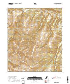
2018 Map of Eagle D-3 NW
USGS Topo · Published 2018About this map
The Yukon-Charley Rivers National Preserve covers the vast majority of this landscape, protecting a network of waterways that define the region's topography. The Seventymile River cuts across the northern edge of the sheet, served by numerous tributaries including Easter Cr and Molybdite Cr. These drainage patterns are typical of the interior Alaska wilderness, where the land is partitioned into various townships like t2n r26e and t1n r27e. The map highlights a series of named creeks, such as Caribou Cr and Nugget Cr, which are historical focal points for prospecting and local nomenclature. This 2018 survey serves as a modern record of these remote watersheds, showing the relationship between minor streams like Flume Cr and the larger river systems they feed within the preserve boundaries.
Find a feature on this map
14 named features on this map. Tap any name to fly to it.
Don’t see what you’re looking for? This feature index may not catch every label — zoom into the map to look around manually.
Map Details
Editions of this 2018 Eagle D-3 NW Map
This is the sole edition of this map. No revisions or reprints were ever made.
Other maps of this area

1951 · Charley River
USGS Topo · 1:250,000

1951 · Eagle
USGS Topo · 1:250,000

1956 · Charley River A-4
USGS Topo · 1:63,360

1956 · Charley River A-3
USGS Topo · 1:63,360

1956 · Charley River
USGS Topo · 1:250,000

1956 · Eagle D-3
USGS Topo · 1:63,360
1956 · Eagle D-4
USGS Topo · 1:63,360

1957 · Eagle
USGS Topo · 1:250,000
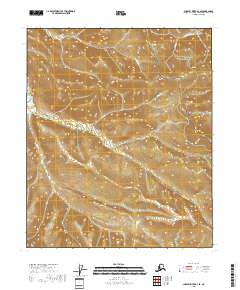
2018 · Charley River A-3 SE
USGS Topo · 1:25,000
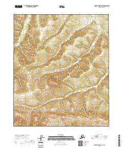
2018 · Charley River A-4 SE
USGS Topo · 1:25,000