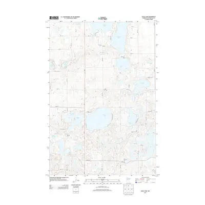
2013 Map of Eagle Lake
USGS Topo · Published 2013About this map
The glacial lakes and rolling terrain of Otter Tail County define this landscape, anchored by the significant waters of Eagle Lake and Clitherall Lake. For genealogists, the map is a vital resource, documenting five distinct burial grounds including Eagle Lake Cem, Evander Cem, and Oak Hill Farm Cem, which are scattered among the township's rural sections. The township's infrastructure is dominated by MN-78, running north-to-south, and a network of county roads like Co HWY-38 and Co HWY-12. Smaller water bodies like Jolly Ann Lake and Hancock Lake illustrate the dense clustering of wetlands that shaped the region's agricultural and settlement patterns. The presence of Grue Cem near Grue Church Rd indicates the localized community hubs that have persisted in this area into the early 21st century.
Find a feature on this map
40 named features on this map. Tap any name to fly to it.
Don’t see what you’re looking for? This feature index may not catch every label — zoom into the map to look around manually.
Map Details
Editions of this 2013 Eagle Lake Map
This is the sole edition of this map. No revisions or reprints were ever made.
Other maps of this area

1912 · Battle Lake
USGS Topo · 1:62,500

1913 · Ashby
USGS Topo · 1:62,500

1914 · Battle Lake
USGS Topo · 1:62,500

1915 · Underwood
USGS Topo · 1:62,500

1953 · Brainerd
USGS Topo · 1:250,000

1957 · Brainerd
USGS Topo · 1:250,000

1958 · Brainerd
USGS Topo · 1:250,000

1965 · Brainerd
USGS Topo · 1:250,000

1969 · Eagle Lake
USGS Topo · 1:24,000
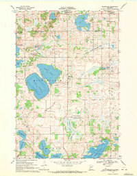
1969 · Millerville
USGS Topo · 1:24,000
Featured Places
- Eagle Lake Township, MN
- Leaf Mountain Township, MN
- Clitherall Township, MN
- Nidaros Township, MN
- Otter Tail County, MN