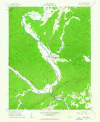
1962 Map of Eagle Rock
USGS Topo · Published 1963About this map
James River and Craig Creek dominate this landscape, meeting at the settlement of Eagle Rock where the Chesapeake and Ohio railroad corridor follows the winding riverbanks. The 1960s terrain is heavily defined by the borders of the George Washington National Forest and Jefferson National Forest, which enclose high ridges like Rathole Mountain and Crawford Mountain. Local life is anchored by small communities and rural congregations, including Glen Wilton, Gala, and Locust Bottom. Genealogists may find interest in landmarks such as Haden Cem, Galatia Ch, and the Rising Mt Zion Ch. The presence of a Quarry near Eagle Rock and a Pumping Sta at Gala suggests the local industrial activities of the era, while the isolated Daggers Springs indicates the historical footprint of earlier settlements tucked into the valley folds of Sheets Mtn.
Find a feature on this map
49 named features on this map. Tap any name to fly to it.
Don’t see what you’re looking for? This feature index may not catch every label — zoom into the map to look around manually.
Map Details
Editions of this 1962 Eagle Rock Map
2 editions found
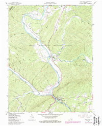
Other maps of this area

1894 · Natural Bridge
USGS Topo · 1:125,000

1894 · Natural Bridge
USGS Topo · 1:62,500

1907 · Natural Bridge Special
USGS Topo · 1:62,500

1913 · Eagle Rock
USGS Topo · 1:48,000

1915 · Eagle Rock
USGS Topo · 1:62,500

1945 · Clifton Forge
USGS Topo · 1:62,500

1946 · Millboro
USGS Topo · 1:62,500

1947 · Roanoke
USGS Topo · 1:250,000
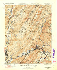
1949 · Clifton Forge
USGS Topo · 1:62,500
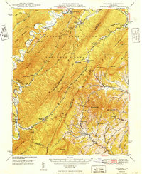
1949 · Millboro
USGS Topo · 1:62,500