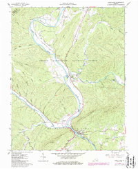
1962 Map of Eagle Rock
USGS Topo · Published 1986About this map
The James River carves a deep path through the Botetourt and Alleghany county line on this 1962 survey, which was updated in the 1980s. The village of Eagle Rock serves as a focal point at the confluence of the river and Craig Creek, where the Quarry and Emmanuel Ch stand near the southern slopes of Rathole Mountain. This area exhibits a dense concentration of rural community anchors, including the Galatia Ch in the settlement of Gala and the Locust Bottom Ch further north.
Find a feature on this map
44 named features on this map. Tap any name to fly to it.
Don’t see what you’re looking for? This feature index may not catch every label — zoom into the map to look around manually.
Map Details
Editions of this 1962 Eagle Rock Map
2 editions found
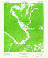
Other maps of this area

1894 · Natural Bridge
USGS Topo · 1:125,000

1894 · Natural Bridge
USGS Topo · 1:62,500

1907 · Natural Bridge Special
USGS Topo · 1:62,500

1913 · Eagle Rock
USGS Topo · 1:48,000

1915 · Eagle Rock
USGS Topo · 1:62,500

1945 · Clifton Forge
USGS Topo · 1:62,500

1946 · Millboro
USGS Topo · 1:62,500

1947 · Roanoke
USGS Topo · 1:250,000
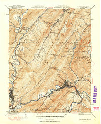
1949 · Clifton Forge
USGS Topo · 1:62,500
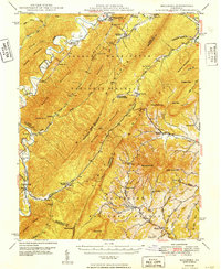
1949 · Millboro
USGS Topo · 1:62,500