
1957 Map of Eagle
USGS Topo · Published 1966About this map
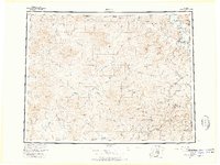
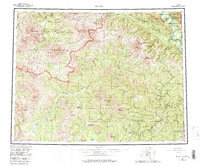
The Yukon River flows past the northern settlements of Eagle and Eagle Village in this mid-century survey of the eastern Alaska interior. The landscape is defined by the complex drainage systems of the Seventymile River, Charley River, and the Fortymile River, the latter featuring a distinctive riverbend known as The Kink. The Taylor Highway provides a critical overland artery through the southern portion of the map, connecting isolated outposts such as Chicken, Jack Wade, and Boundary near the United States Canada border. Historical transport routes like the Kechumstuk Trail and various tractor trails highlight the region's reliance on seasonal and specialized travel. This document captures the distribution of mining-era settlements and river-dependent communities before modern infrastructure expanded further into the bush, preserving the locations of remote landmarks like Eagle Landing Area and high-altitude points including Mount Harper and Arctic Dome.
Find a feature on this map
124 named features on this map. Tap any name to fly to it.
Don’t see what you’re looking for? This feature index may not catch every label — zoom into the map to look around manually.
Map Details
Editions of this 1957 Eagle Map
6 editions found
Other maps of this area

1899 · Fortymile
USGS Topo · 1:250,000

1949 · Tanacross
USGS Topo · 1:250,000

1950 · Tanacross
USGS Topo · 1:250,000

1950 · Mount Hayes
USGS Topo · 1:250,000

1950 · Big Delta
USGS Topo · 1:250,000

1951 · Big Delta
USGS Topo · 1:250,000

1951 · Mount Hayes
USGS Topo · 1:250,000

1951 · Charley River
USGS Topo · 1:250,000

1951 · Eagle
USGS Topo · 1:250,000

1951 · Circle
USGS Topo · 1:250,000