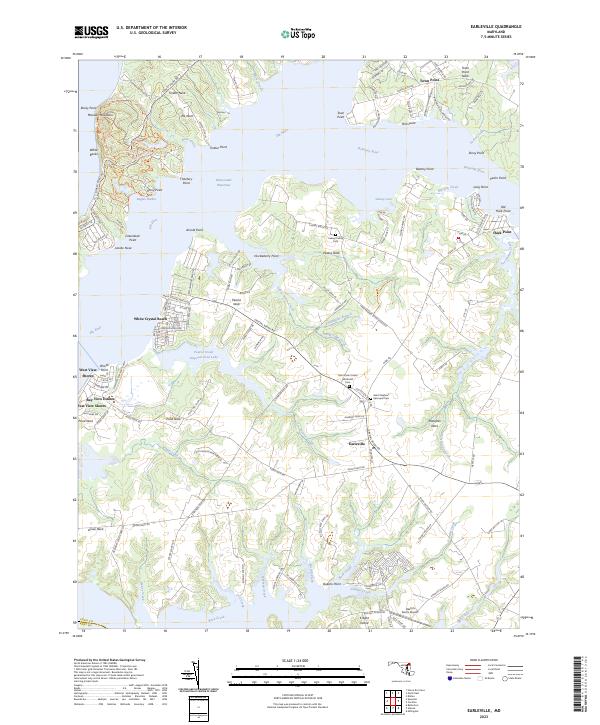
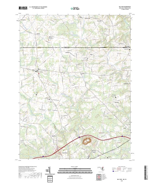
2023 Map of Earleville
USGS Topo · Published 2023About this map
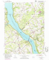
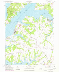
Elk Neck and the surrounding peninsulas of Cecil County define this landscape at the confluence of the Elk River, Bohemia River, and Sassafras River. The map captures a region shaped by its deep water access and agricultural heritage, where traditional settlements like Earleville and Town Point sit alongside established waterfront communities such as White Crystal Beach and Bay View Estates. The terrain is characterized by prominent points and necks, including Veazey Neck and Grove Neck, which extend into the surrounding tidal waters.
Find a feature on this map
150 named features on this map. Tap any name to fly to it.
Don’t see what you’re looking for? This feature index may not catch every label — zoom into the map to look around manually.
Map Details
Editions of this 2023 Earleville Map
This is the sole edition of this map. No revisions or reprints were ever made.
Historical Maps of Tower Point Through Time
18 maps found
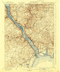
1900 Havre De Grace
Cecil County, MD
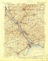
1942 Havre De Grace
Cecil County, MD
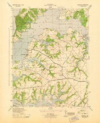
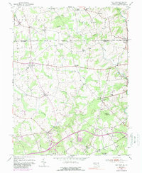
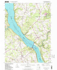
1944 Earleville
Cecil County, MD
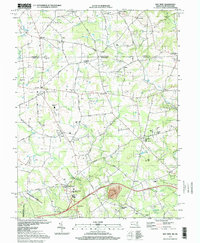
1953 Bay View
Cecil County, MD
1953 Conowingo Dam
Cecil County, MD
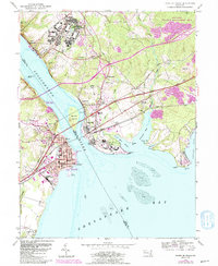
1953 Havre De Grace
Cecil County, MD
1953 Newark West
Cecil County, MD
1958 Earleville
Cecil County, MD
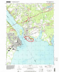
1992 Bay View
Cecil County, MD
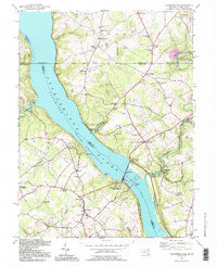
1992 Conowingo Dam
Cecil County, MD
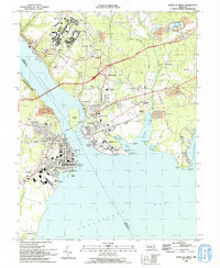
1992 Havre De Grace
Cecil County, MD
1995 Conowingo Dam
Cecil County, MD
1997 Bay View
Cecil County, MD
1998 Havre De Grace
Cecil County, MD
2023 Bay View
Cecil County, MD
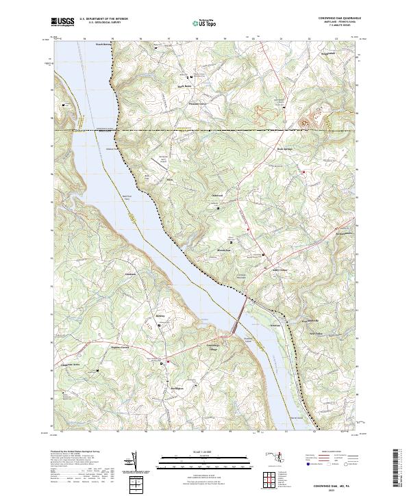
2023 Conowingo Dam
Cecil County, MD
2023 Earleville
Cecil County, MD
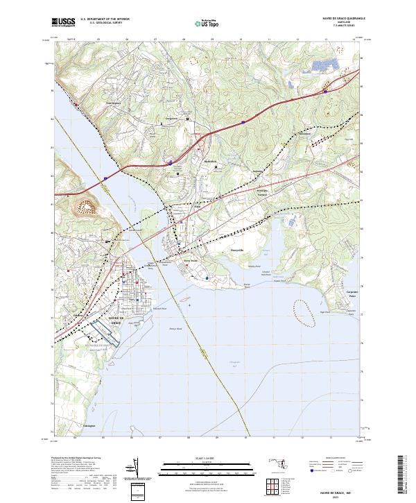
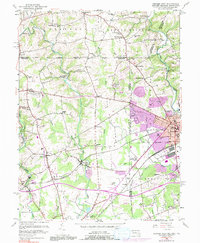
2023 Havre De Grace
Cecil County, MD