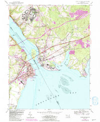
1953 Map of Havre De Grace
USGS Topo · Published 1991About this map
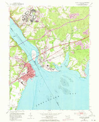
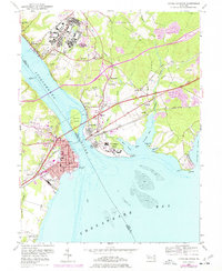
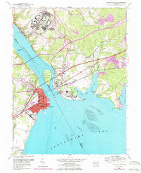
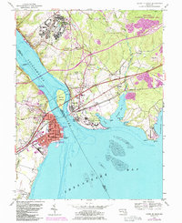
The Susquehanna River dominates this landscape, meeting the Chesapeake Bay at a strategic junction of rail and road. The map reveals the mid-century infrastructure of the Bainbridge Naval Training Center and the extensive Perry Point V A Medical Center, illustrating the region's significant military and federal presence. In Havre de Grace, the city grid is clearly defined, anchored by the Concord Pt Lighthouse and the National Guard Reservation. Across the water, Perryville and Port Deposit serve as key transit points where the Conrail, Amtrak, and B & O railroads converge. Inland, the transition from industrial sites like the Principio Furnace to the rolling terrain of Foys Hill and the Whitaker Wildlife Management Area shows the diverse land use of Cecil and Harford Counties during this era.
Find a feature on this map
64 named features on this map. Tap any name to fly to it.
Don’t see what you’re looking for? This feature index may not catch every label — zoom into the map to look around manually.
Map Details
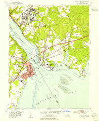
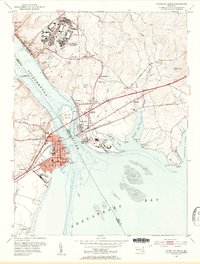
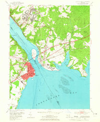
Editions of this 1953 Havre De Grace Map
8 editions found
Other maps of this area

1898 · Elkton
USGS Topo · 1:62,500

1898 · Tolchester
USGS Topo · 1:125,000

1899 · Dover
USGS Topo · 1:125,000

1900 · Elkton
USGS Topo · 1:62,500

1900 · Cecilton
USGS Topo · 1:62,500

1900 · Havre De Grace
USGS Topo · 1:62,500

1900 · Betterton
USGS Topo · 1:62,500

1903 · Tolchester
USGS Topo · 1:125,000

1906 · Dover
USGS Topo · 1:125,000

1908 · Tolchester
USGS Topo · 1:125,000