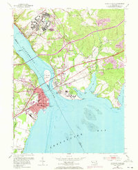
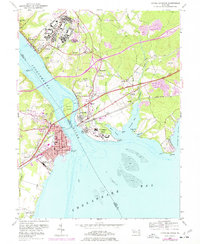
1953 Map of Havre De Grace
USGS Topo · Published 1971About this map
Havre De Grace serves as the focal point for this survey, situated at the strategic mouth of the Susquehanna River as it opens into Chesapeake Bay. The map documents a significant era of post-war military and institutional presence, characterized by the expansive Bainbridge Naval Training Center on the northern bluffs and the U S Veterans Hospital on the Perry Point peninsula. This 1953 landscape captures the intense intersection of mid-century infrastructure where the Penn Central and Baltimore and Ohio railroads converge near the General Pulaski Highway. Along the eastern shores, traces of early industrial history remain visible at Principio Furnace on Principio Creek, while the Concord Pt Lighthouse stands at the harbor entrance. Further inland, rural community life is anchored by locations like Blythedale, Aikin, and several small family burial grounds including the Patterson Cem.
Find a feature on this map
55 named features on this map. Tap any name to fly to it.
Don’t see what you’re looking for? This feature index may not catch every label — zoom into the map to look around manually.
Map Details
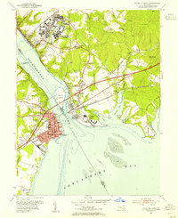
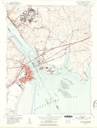
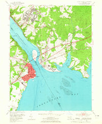
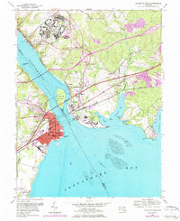
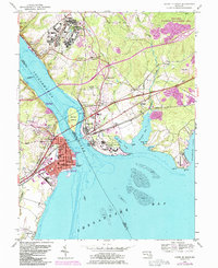
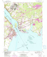
Editions of this 1953 Havre De Grace Map
8 editions found
Other maps of this area

1898 · Elkton
USGS Topo · 1:62,500

1898 · Tolchester
USGS Topo · 1:125,000

1899 · Dover
USGS Topo · 1:125,000

1900 · Elkton
USGS Topo · 1:62,500

1900 · Cecilton
USGS Topo · 1:62,500

1900 · Havre De Grace
USGS Topo · 1:62,500

1900 · Betterton
USGS Topo · 1:62,500

1903 · Tolchester
USGS Topo · 1:125,000

1906 · Dover
USGS Topo · 1:125,000

1908 · Tolchester
USGS Topo · 1:125,000