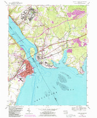
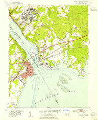
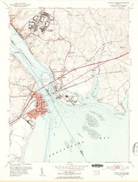
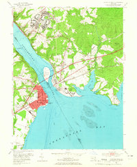
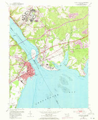
1953 Map of Havre De Grace
USGS Topo · Published 1985About this map
Bainbridge Naval Training Center dominates the northern heights above the Susquehanna River, overlooking a landscape defined by the transition from riverine commerce to naval medicine and training. The twin towns of Havre De Grace and Perryville are linked by the Amtrak corridor, showing a dense network of streets that include landmarks such as the Concord Pt Lighthouse and the expansive Perry Point VA Medical Center.
Find a feature on this map
60 named features on this map. Tap any name to fly to it.
Don’t see what you’re looking for? This feature index may not catch every label — zoom into the map to look around manually.
Map Details
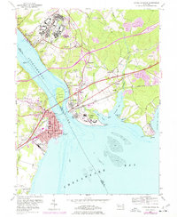
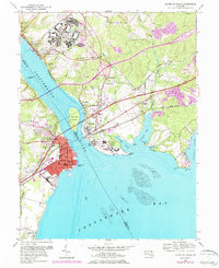
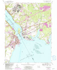
Editions of this 1953 Havre De Grace Map
8 editions found
Other maps of this area

1898 · Elkton
USGS Topo · 1:62,500

1898 · Tolchester
USGS Topo · 1:125,000

1899 · Dover
USGS Topo · 1:125,000

1900 · Elkton
USGS Topo · 1:62,500

1900 · Cecilton
USGS Topo · 1:62,500

1900 · Havre De Grace
USGS Topo · 1:62,500

1900 · Betterton
USGS Topo · 1:62,500

1903 · Tolchester
USGS Topo · 1:125,000

1906 · Dover
USGS Topo · 1:125,000

1908 · Tolchester
USGS Topo · 1:125,000