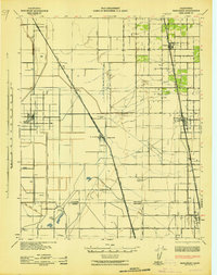
1942 Map of Earlimart
USGS Topo · Published 1942About this map
Allensworth and Earlimart anchor this detailed 1942 survey of the southern San Joaquin Valley, capturing a landscape defined by industrial agriculture and early transport corridors. The map documents the vital rail infrastructure of the era, with the Atchison Topeka and Santa Fe and Southern Pacific lines cutting diagonally through the valley floor. Water management is a primary focus, visible in the extensive network of the Alpaugh Irrigation District Canal, the Angiola Canal, and the Poso Creek Levee, which transformed this arid territory into productive farmland.
Find a feature on this map
39 named features on this map. Tap any name to fly to it.
Don’t see what you’re looking for? This feature index may not catch every label — zoom into the map to look around manually.
Map Details
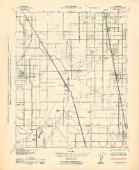
Editions of this 1942 Earlimart Map
2 editions found
Other maps of this area

1914 · Lost Hills
USGS Topo · 1:125,000

1925 · Tipton
USGS Topo · 1:31,680

1927 · McFarland
USGS Topo · 1:31,680

1927 · Lake View School
USGS Topo · 1:31,680

1928 · Tipton
USGS Topo · 1:31,680

1928 · Woodville
USGS Topo · 1:31,680

1928 · Corcoran
USGS Topo · 1:31,680

1929 · Alpaugh
USGS Topo · 1:31,680

1929 · Delano
USGS Topo · 1:31,680

1929 · Sausalito School
USGS Topo · 1:31,680