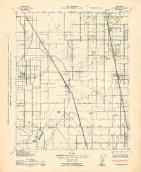
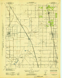
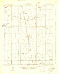
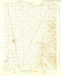
1942 Map of Earlimart
USGS Topo · Published 1945About this map
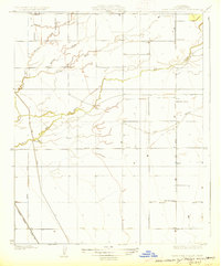
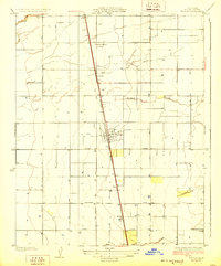
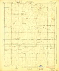
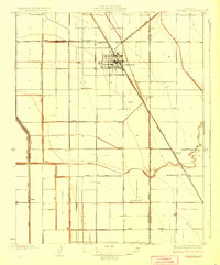
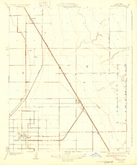
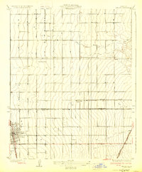
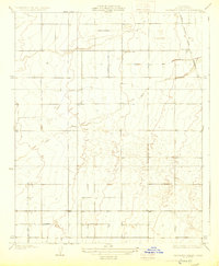
The boundary between Tulare County and Kern County forms the southern anchor of this 1942 survey, where the valley's irrigation and transportation systems meet. The landscape is defined by the rigid grid of the Alpaugh Irrigation District Canal and Homeland Canal, supporting a network of agricultural settlements and family-named landmarks like the J. C. Phillips Ranch and College Ranch. The dual-railway corridors of the Atchison Topeka and Santa Fe and Southern Pacific organize the towns of Allensworth, Pixley, and Earlimart, facilitating the movement of crops from this intensive farming region.
Find a feature on this map
38 named features on this map. Tap any name to fly to it.
Don’t see what you’re looking for? This feature index may not catch every label — zoom into the map to look around manually.
Map Details
Editions of this 1942 Earlimart Map
2 editions found
Other maps of this area

1914 · Lost Hills
USGS Topo · 1:125,000
1925 · Tipton
USGS Topo · 1:31,680
1927 · McFarland
USGS Topo · 1:31,680
1927 · Lake View School
USGS Topo · 1:31,680
1928 · Tipton
USGS Topo · 1:31,680
1928 · Woodville
USGS Topo · 1:31,680
1928 · Corcoran
USGS Topo · 1:31,680
1929 · Alpaugh
USGS Topo · 1:31,680
1929 · Delano
USGS Topo · 1:31,680
1929 · Sausalito School
USGS Topo · 1:31,680