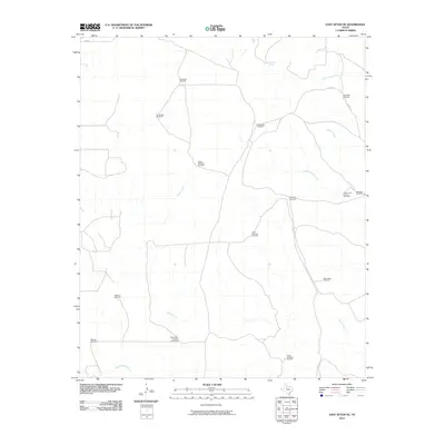
2010 Map of East Afton NE
USGS Topo · Published 2010About this map
Deep Well Windmill and several other named water stations define this pastoral landscape in the Texas Rolling Plains. The distribution of features like Taylor Tubs Windmill, Cowboy Windmill, and Upper Beef Pasture Windmill reflects the critical importance of groundwater management in this ranching environment. Watercourses such as the South Wichita River and its tributaries, including Geneva Fork and Long Canyon Creek, provide the primary natural drainage across the territory. While few buildings are present, the named windmills and cattle infrastructure like Scale Pen Windmill serve as the primary landmarks for local geography. Small seasonal sources like Dripping Spring punctuate the drainage basins of Cottonwood Creek and Willow Creek, highlighting the sparse but vital water resources that have historically supported land use in King County.
Find a feature on this map
24 named features on this map. Tap any name to fly to it.
Don’t see what you’re looking for? This feature index may not catch every label — zoom into the map to look around manually.
Map Details
Editions of this 2010 East Afton NE Map
This is the sole edition of this map. No revisions or reprints were ever made.
Other maps of this area

1954 · Lubbock
USGS Topo · 1:250,000

1967 · Guthrie NW
USGS Topo · 1:24,000

1968 · East Afton
USGS Topo · 1:24,000

1968 · Pitchfork Ranch
USGS Topo · 1:24,000

1968 · Buffalo Creek
USGS Topo · 1:24,000

1968 · Dumont
USGS Topo · 1:24,000

1968 · Croton Camp
USGS Topo · 1:24,000

1968 · East Afton NE
USGS Topo · 1:24,000

1968 · Pitchfork Flats
USGS Topo · 1:24,000

1968 · Sanders Hollow
USGS Topo · 1:24,000