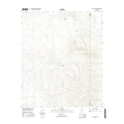
2016 Map of East Afton NE
USGS Topo · Published 2016About this map
The S Wichita River defines the southern reach of this West Texas landscape, where the high plains begin to break into complex drainages along the border of King and Dickens Counties. The terrain is dominated by significant erosional features such as Davidson Canyon and numerous draws including Wildcat Draw and Shinnery Draw. These intermittent watercourses, along with Dripping Spring, suggest a ranching environment where water sources dictated land use and settlement patterns. The map shows a sparse network of rural roads, such as Co RD 101 and FM 193, navigating the dissected topography. Collectors and researchers can trace the intricate network of tributaries like Geneva Fork and China Cr as they feed toward the larger river system in this quiet corner of the Rolling Plains.
Find a feature on this map
14 named features on this map. Tap any name to fly to it.
Don’t see what you’re looking for? This feature index may not catch every label — zoom into the map to look around manually.
Map Details
Editions of this 2016 East Afton NE Map
This is the sole edition of this map. No revisions or reprints were ever made.
Other maps of this area

1954 · Lubbock
USGS Topo · 1:250,000

1967 · Guthrie NW
USGS Topo · 1:24,000

1968 · East Afton
USGS Topo · 1:24,000

1968 · Pitchfork Ranch
USGS Topo · 1:24,000

1968 · Buffalo Creek
USGS Topo · 1:24,000

1968 · Dumont
USGS Topo · 1:24,000

1968 · Croton Camp
USGS Topo · 1:24,000

1968 · East Afton NE
USGS Topo · 1:24,000

1968 · Pitchfork Flats
USGS Topo · 1:24,000

1968 · Sanders Hollow
USGS Topo · 1:24,000