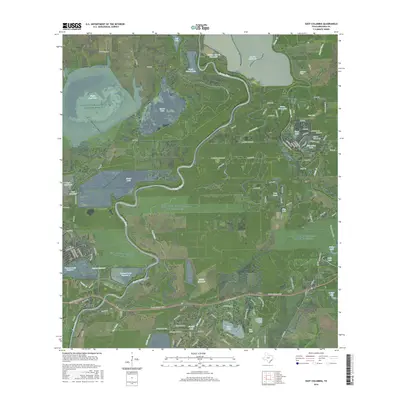
2016 Map of East Columbia
USGS Topo · Published 2016About this map
The Brazos River meanders across this Brazoria County landscape, defining a complex ecosystem of oxbow lakes, bayous, and modern reservoirs. This 2016 survey captures the historic riverfront at East Columbia, where the community sits along the river's western bank opposite a web of waterways including Dry Bayou and Varner Cr. The map reveals how the modern hydrology of the area is managed through several large impoundments such as the William Harris Reservoir, Harris Reservoir, and the Griffith Reservoir, which sit alongside natural features like Eagle Nest Lake and Manor Lake.
Find a feature on this map
121 named features on this map. Tap any name to fly to it.
Don’t see what you’re looking for? This feature index may not catch every label — zoom into the map to look around manually.
Map Details
Editions of this 2016 East Columbia Map
This is the sole edition of this map. No revisions or reprints were ever made.
Other maps of this area

1943 · Rosharon
USGS Topo · 1:31,680

1943 · Angleton
USGS Topo · 1:24,000

1943 · Snipe
USGS Topo · 1:31,680

1950 · Houston
USGS Topo · 1:250,000

1952 · West Columbia
USGS Topo · 1:24,000

1952 · Sweeny
USGS Topo · 1:24,000

1952 · East Columbia
USGS Topo · 1:24,000

1952 · Brazoria
USGS Topo · 1:24,000

1953 · Damon
USGS Topo · 1:24,000

1953 · Otey
USGS Topo · 1:24,000
Featured Places
- Holiday Lakes, TX
- Bailey's Prairie, TX
- East Columbia, TX
- Bailey Prairie, Bailey's Prairie
- Brazoria County, TX